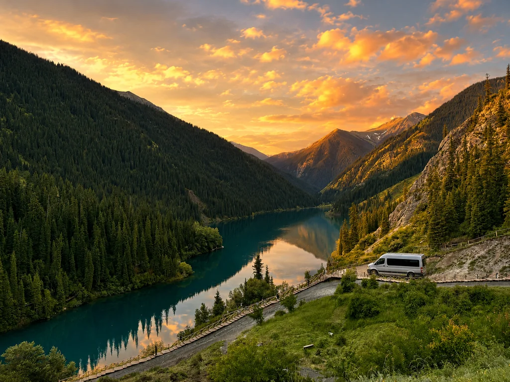
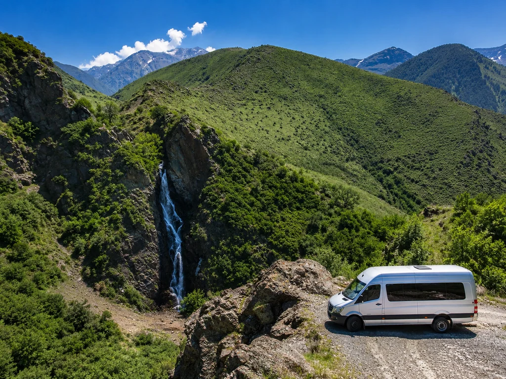
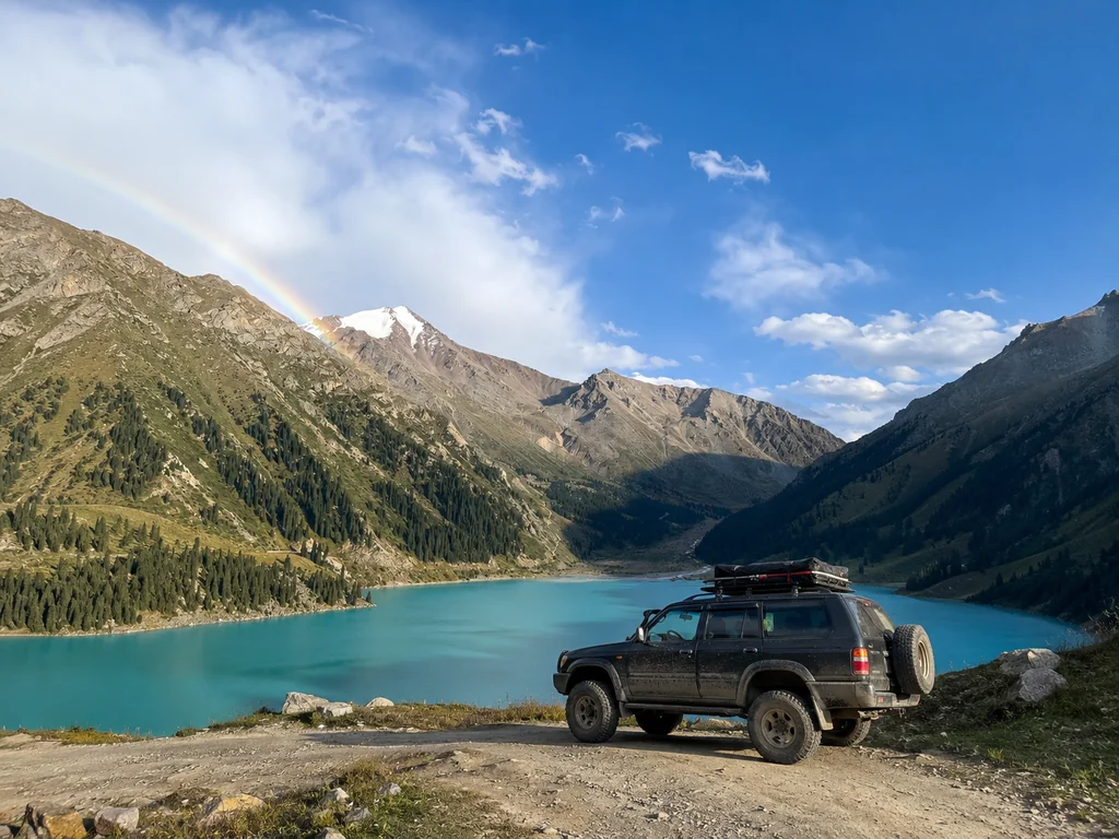
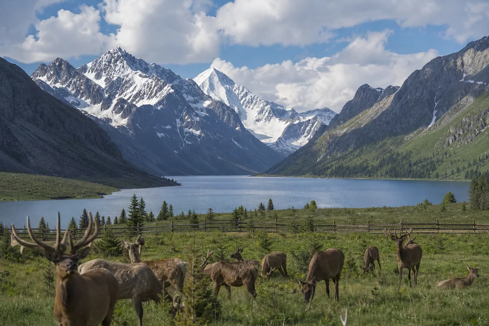
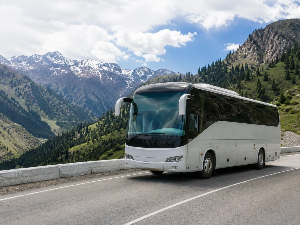
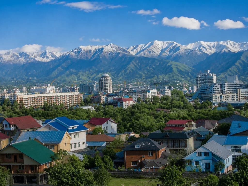
Hiking from Almaty is the best way to see the mountains of the Zailiysky Alatau range. At toor, we organize routes from one-day trips (6–8 km, from 8,900 KZT per person) to multi-day expeditions to the Kolsai Lakes and Charyn Canyon. All hikes include a certified guide-rescuer from the Ministry of Emergency Situations, transfer from the city, and insurance.
How to Choose a Hike by Difficulty: From Beginner to Pro
Hikes from Almaty with toor offer routes for every taste, from a walk to the Big Almaty Lake to multi-day trekking at Kolsai. The main fear for beginners is not handling the load. Let's break down which routes from Almaty suit each fitness level and how to assess yours.
One-Day Routes for Beginners: BAO and Kok-Zhailau
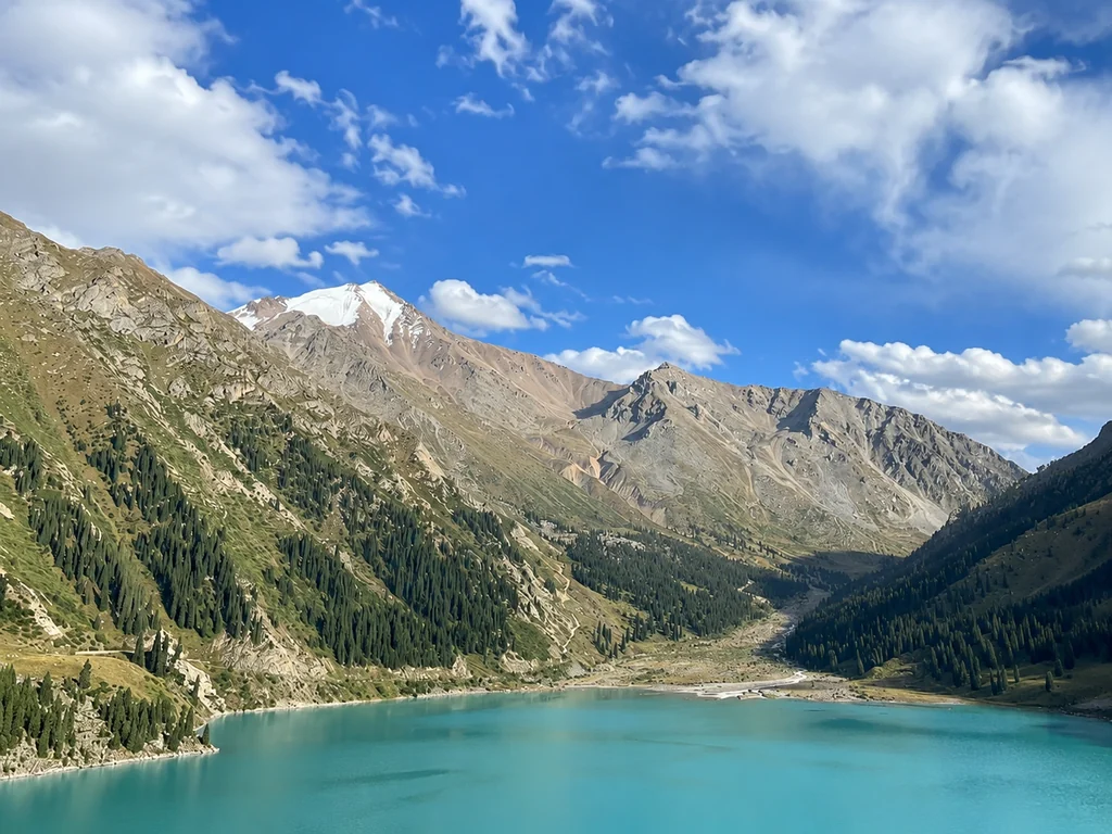
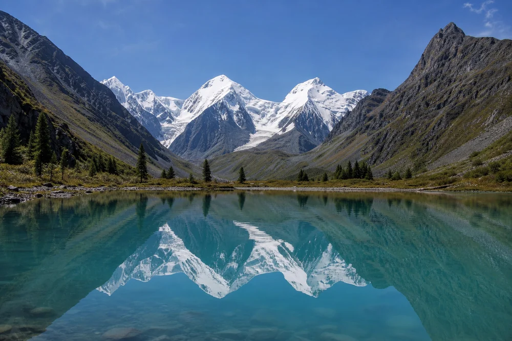
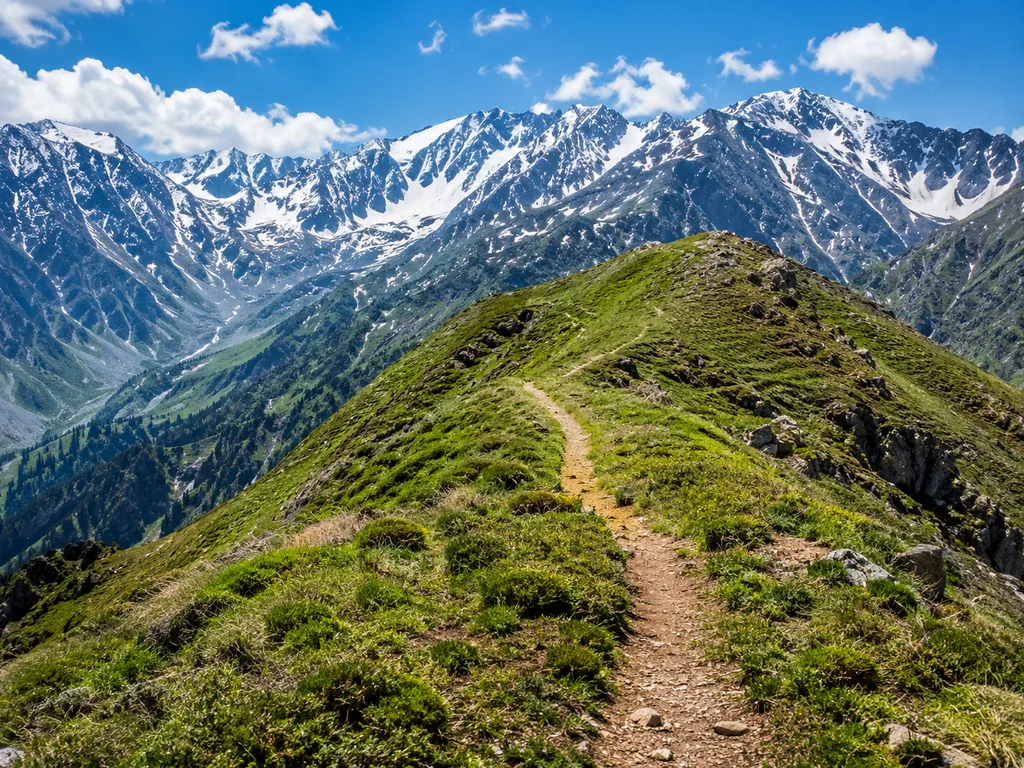
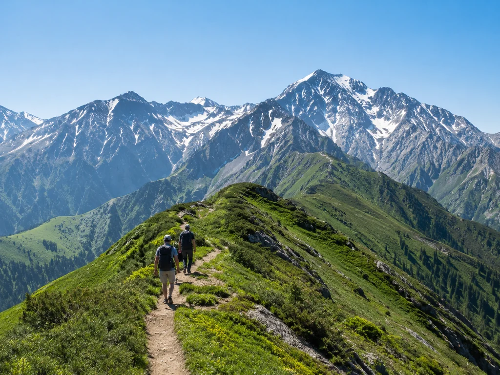
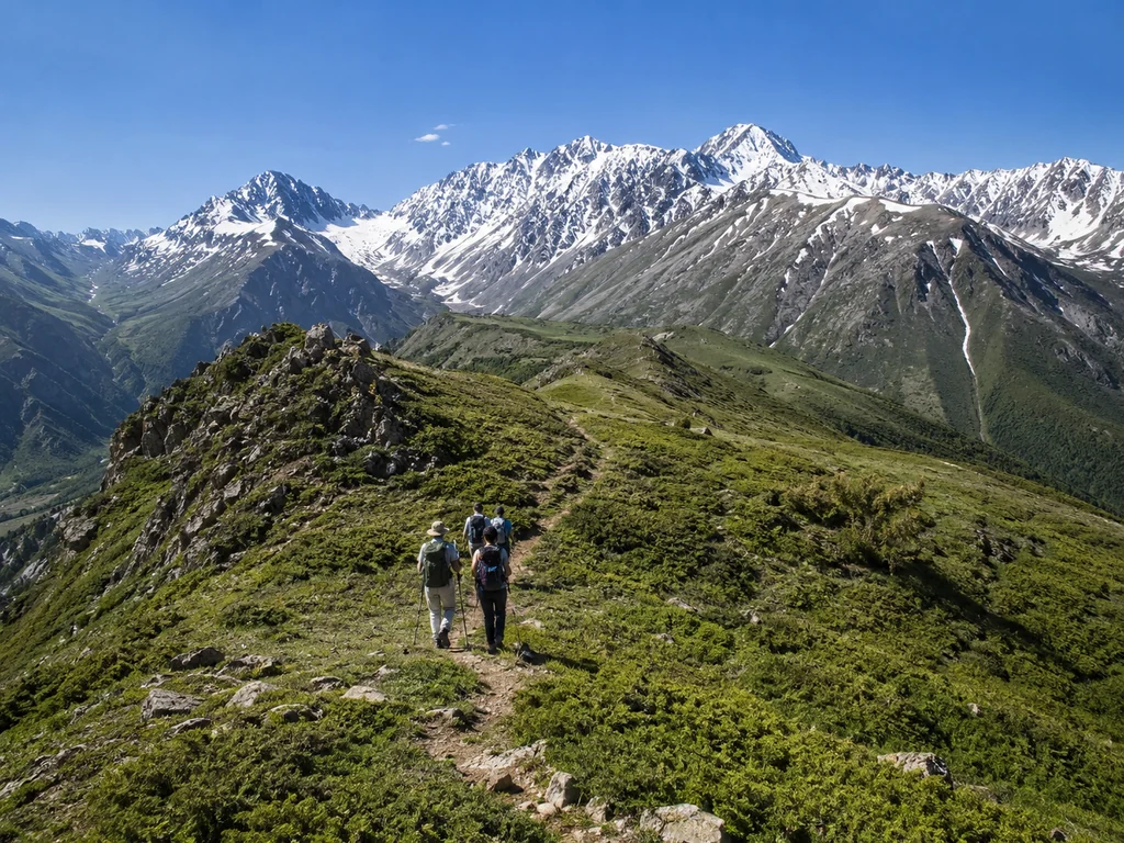
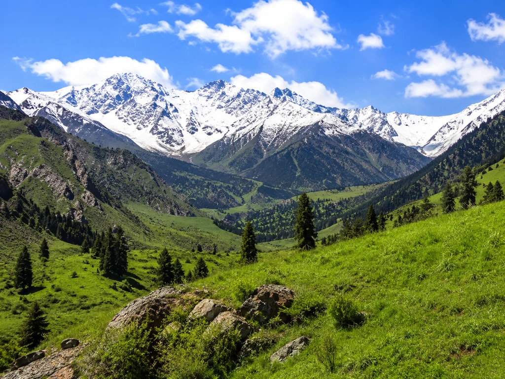
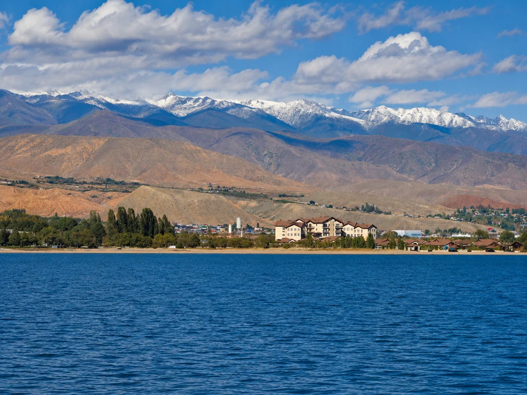
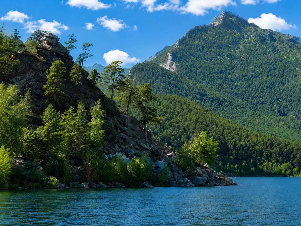
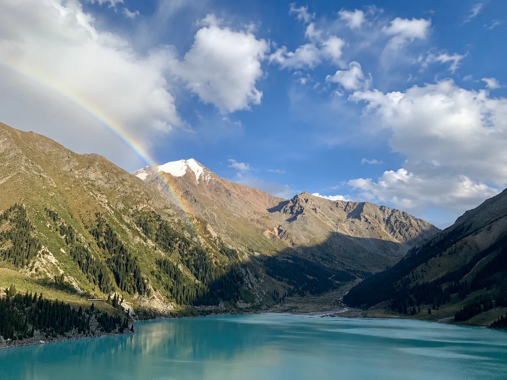
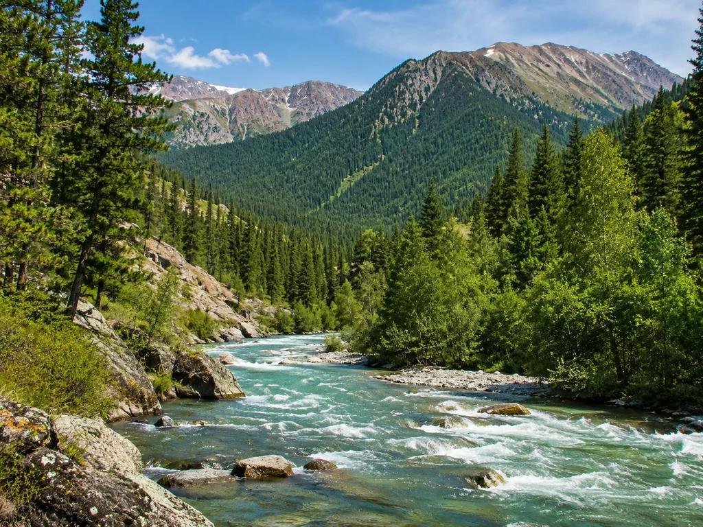
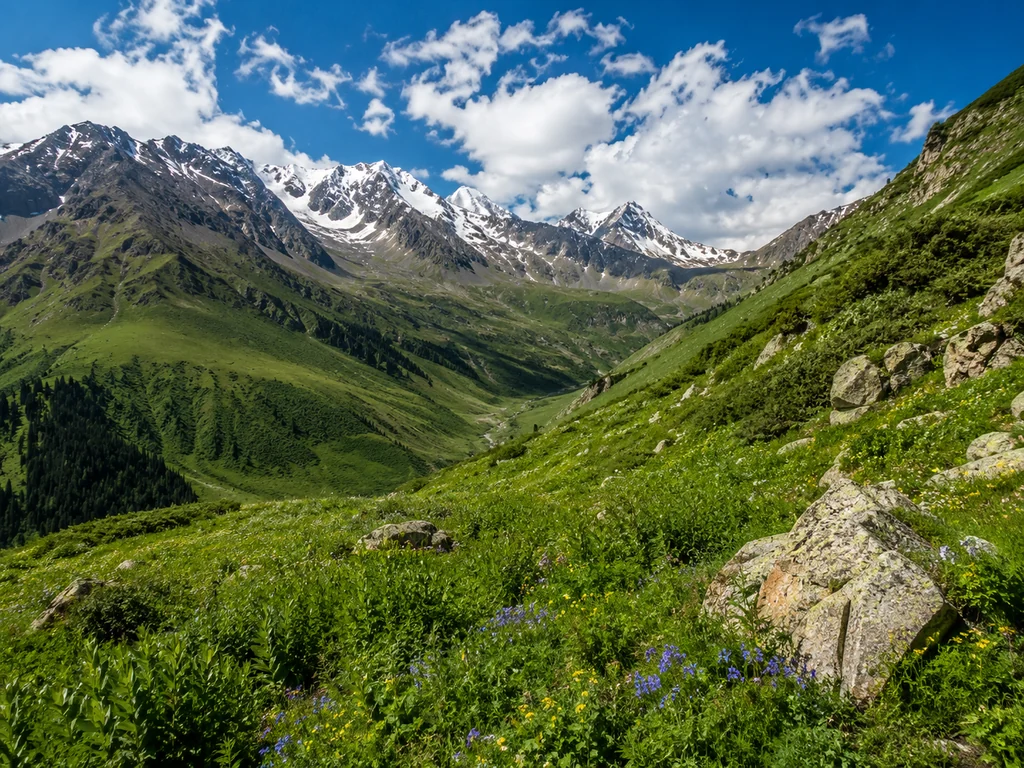
For your first time, we recommend one-day routes to the Big Almaty Lake (2511 m) or Kok-Zhailau Pass (2500 m) — a distance of 6–8 km with an elevation gain of 300–500 m, manageable for someone without special training. The group moves at a pace of 2–3 km/h with stops every 30–40 minutes for rest and photos, allowing even those who don't run in the morning to breathe steadily. At the Big Almaty Lake, the trail follows a serpentine with a gentle slope; at Kok-Zhailau, it traverses the slope with panoramic views of the city. Both routes are within the Ile-Alatau National Park. Our hikes are led by certified guides-rescuers from the Ministry of Emergency Situations, who monitor the group's pulse and adjust the pace. The main advantage for beginners is the gentle elevation gain without steep climbs and the ability to leave the trail at any point if you feel tired.
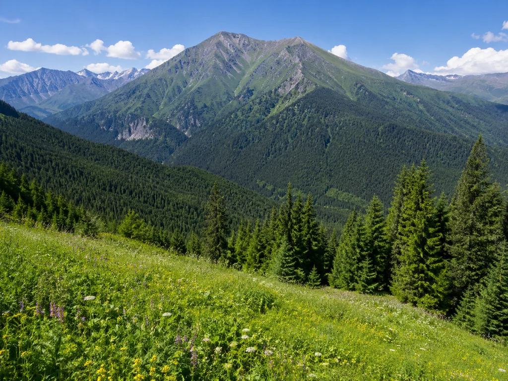
Intermediate Routes: Turgen Gorge and Kolsai Lakes
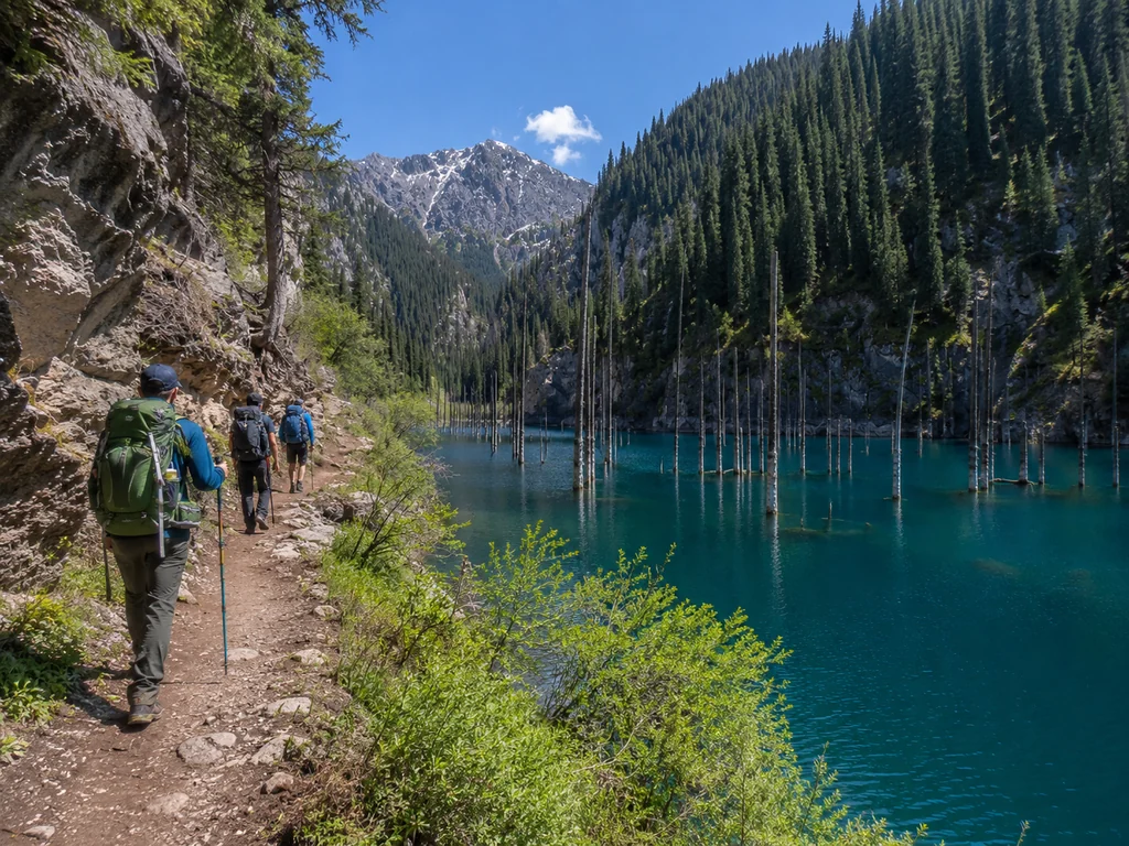
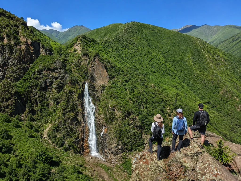
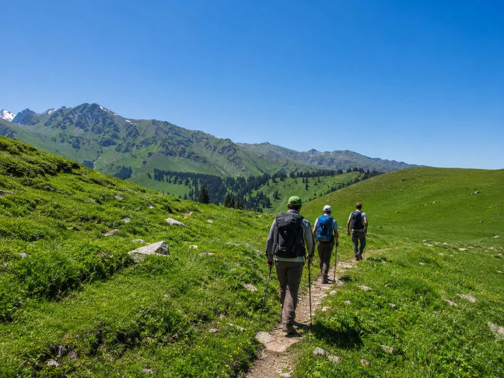
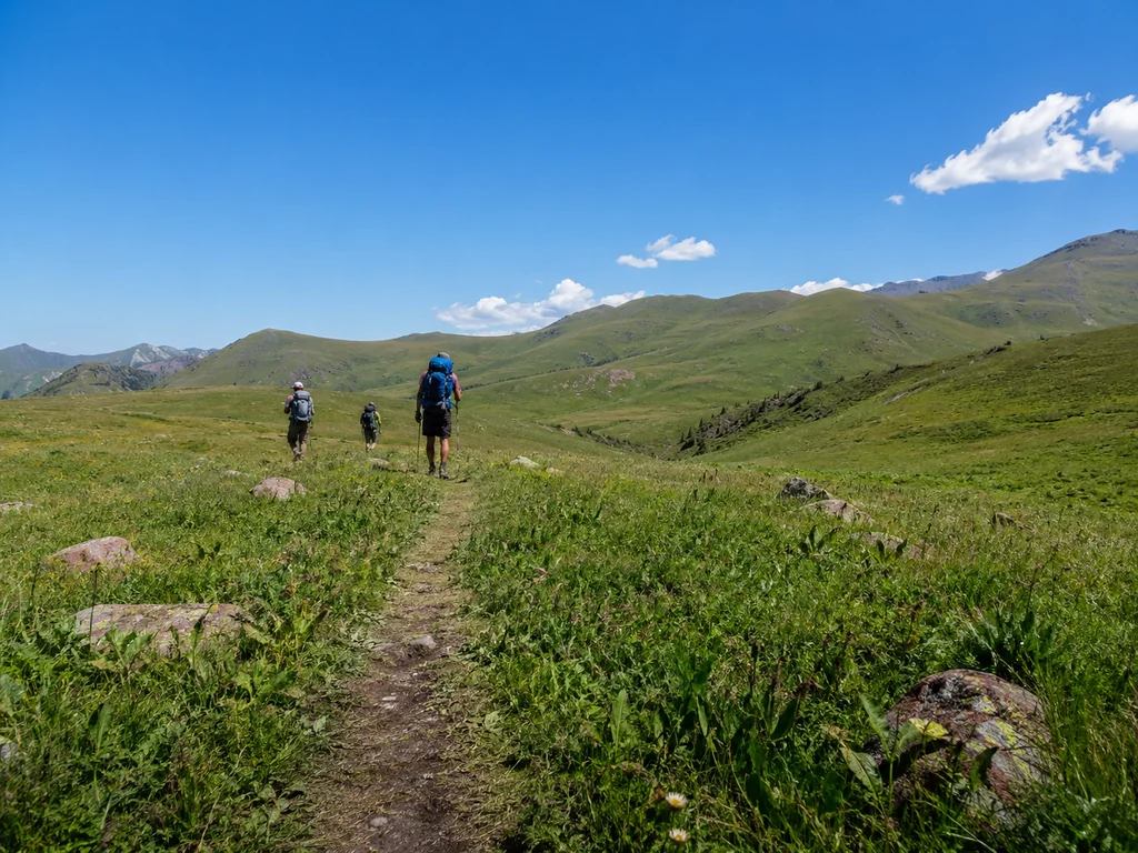
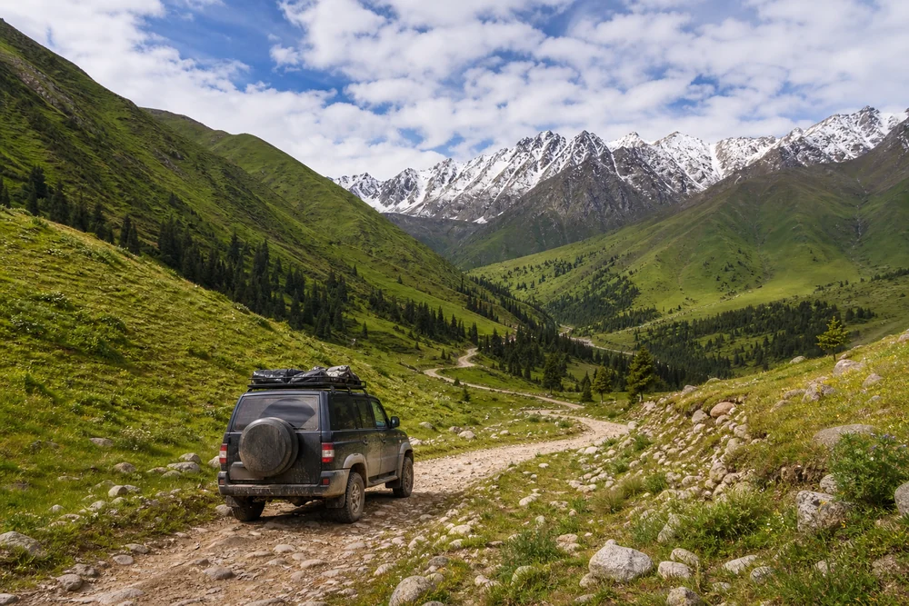
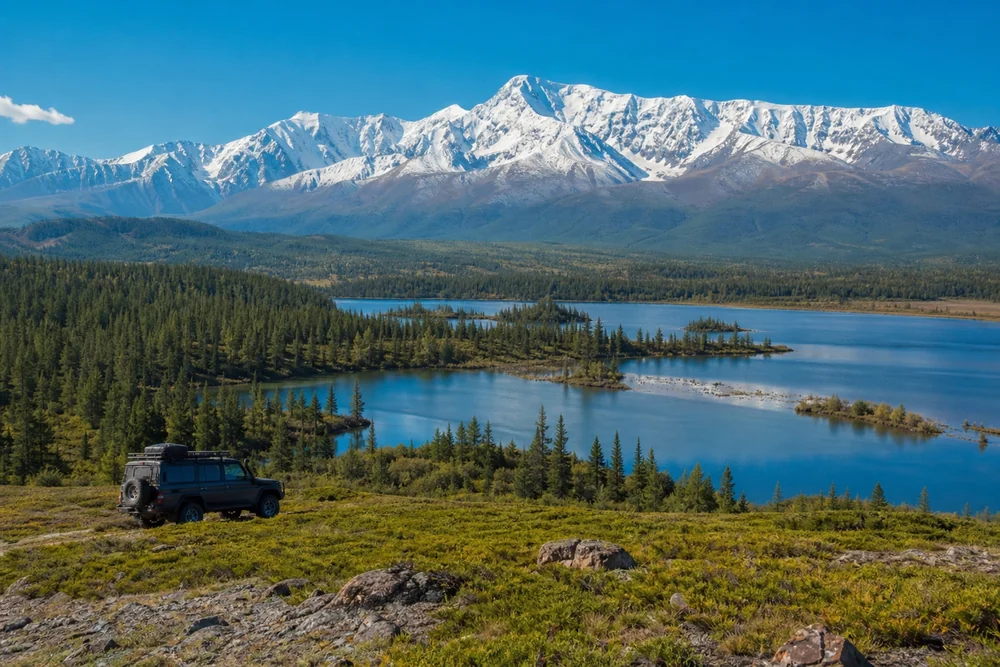
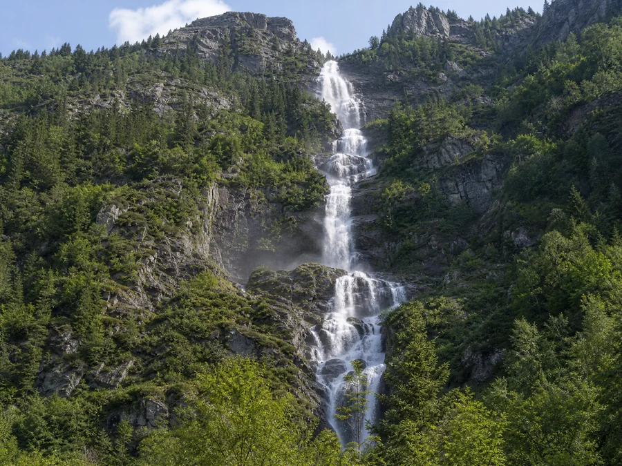
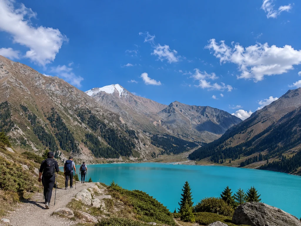
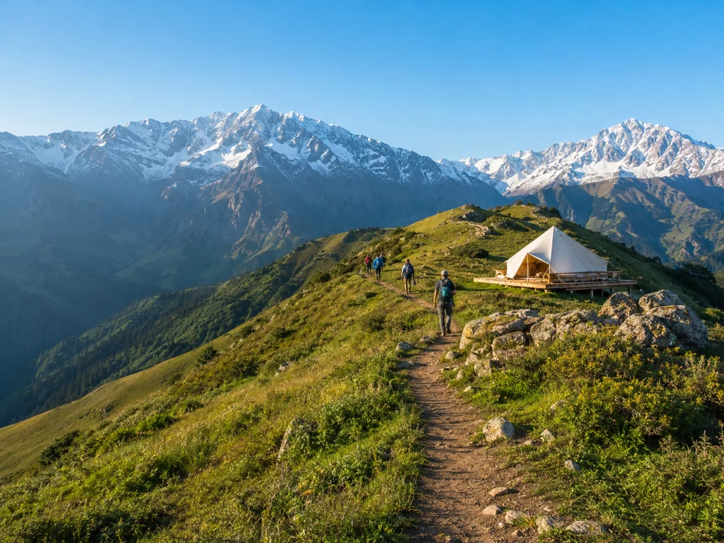
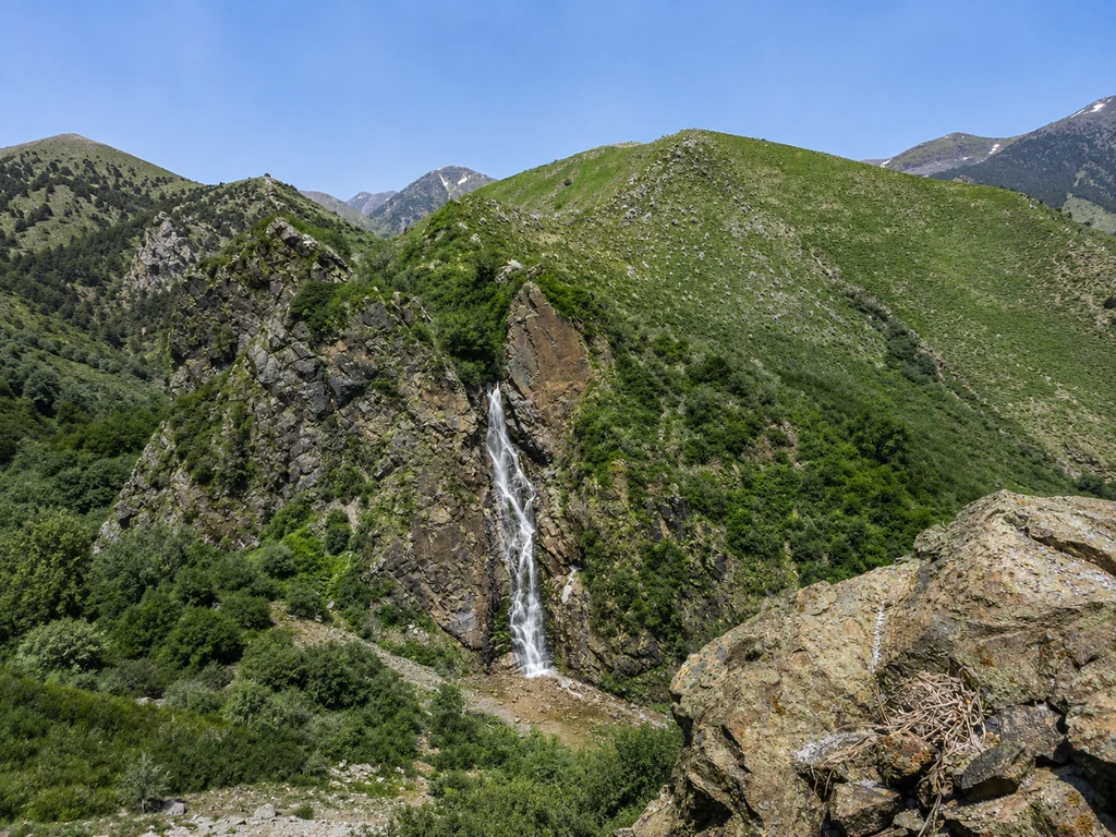
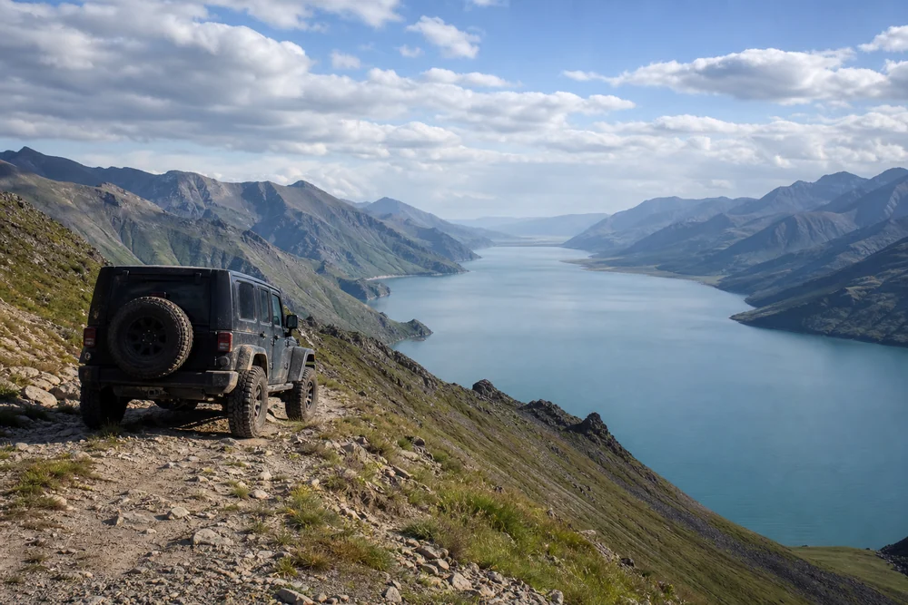
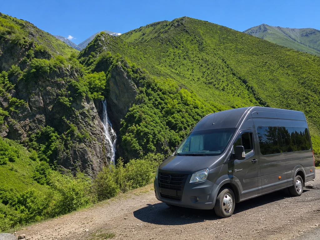
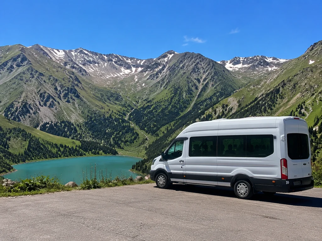
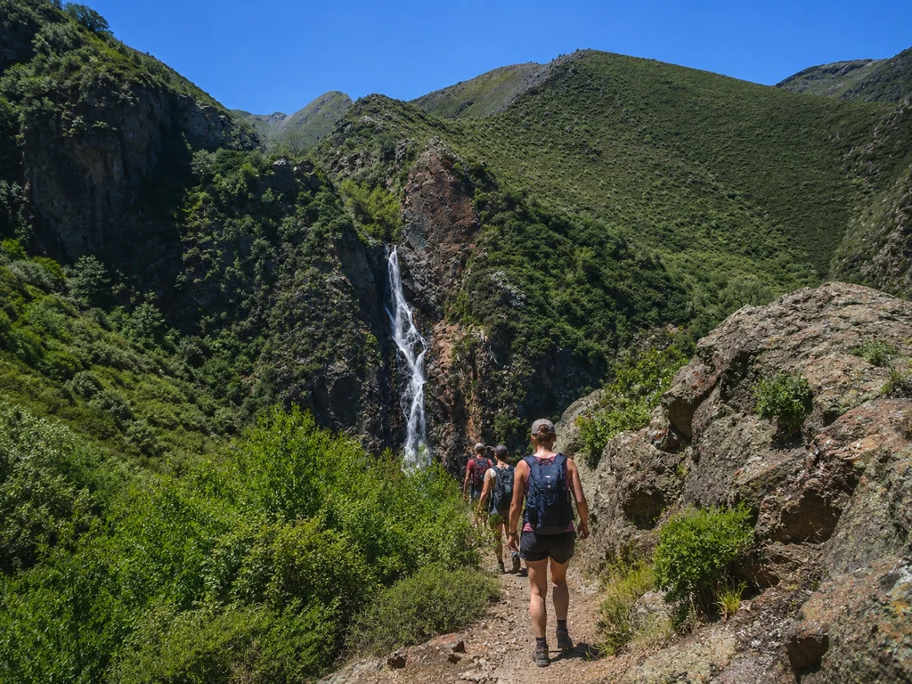
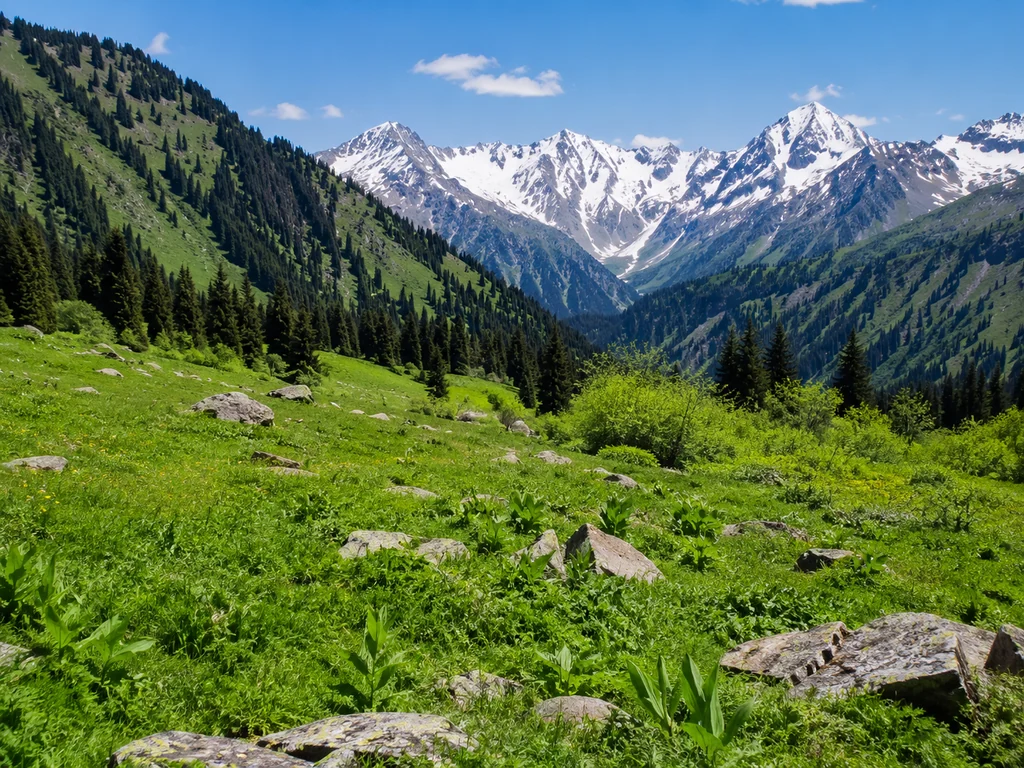
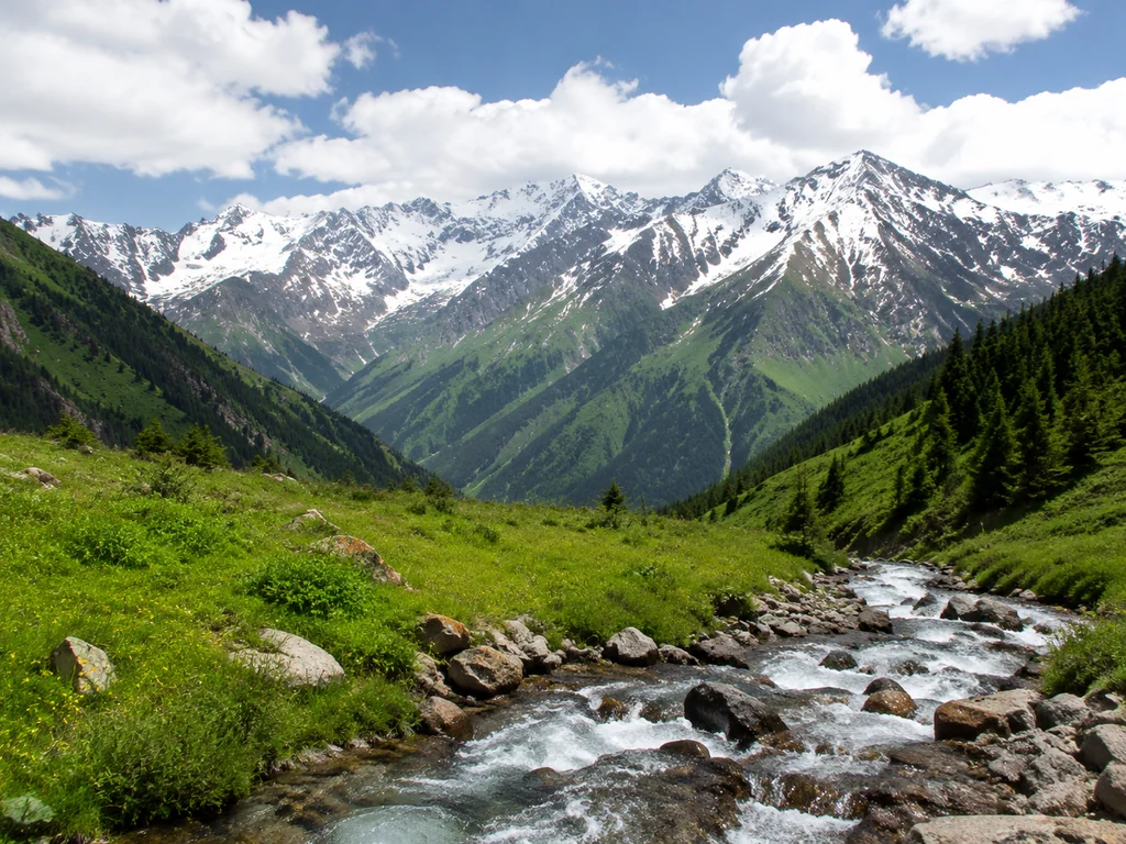
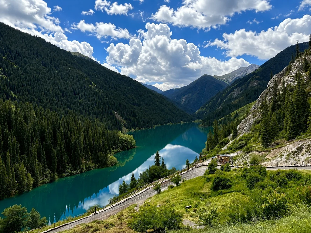
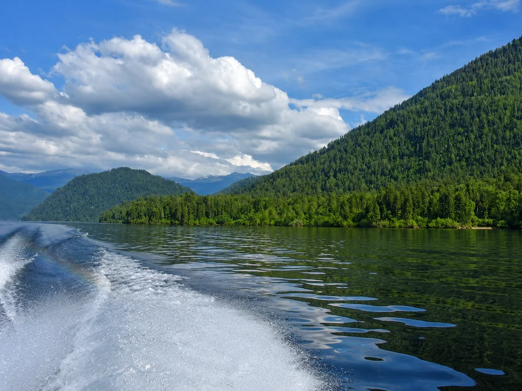
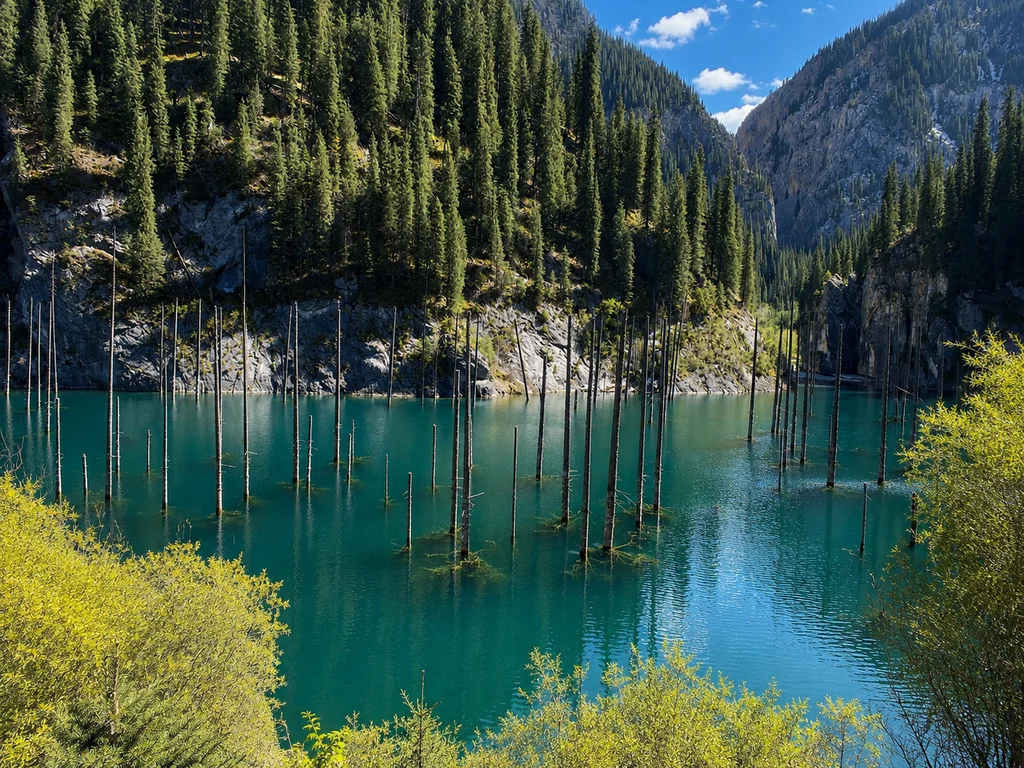
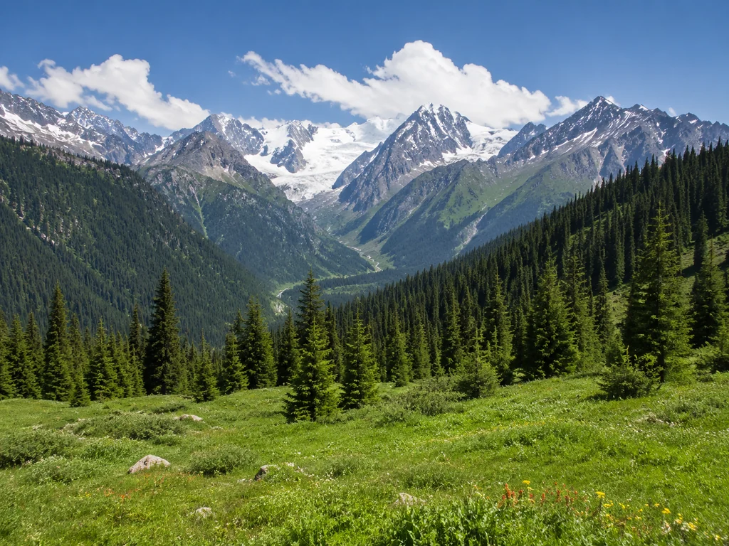
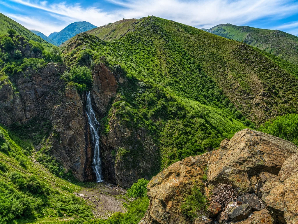
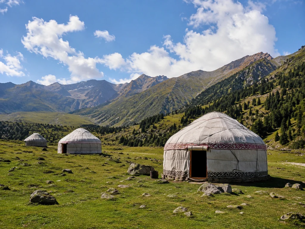
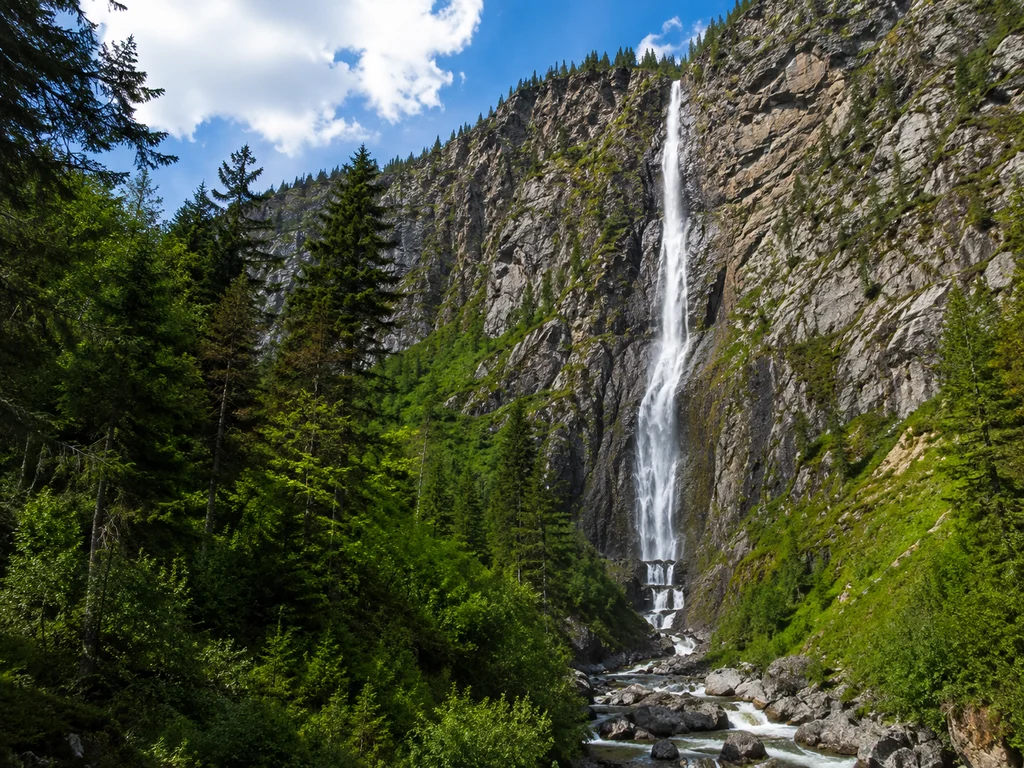
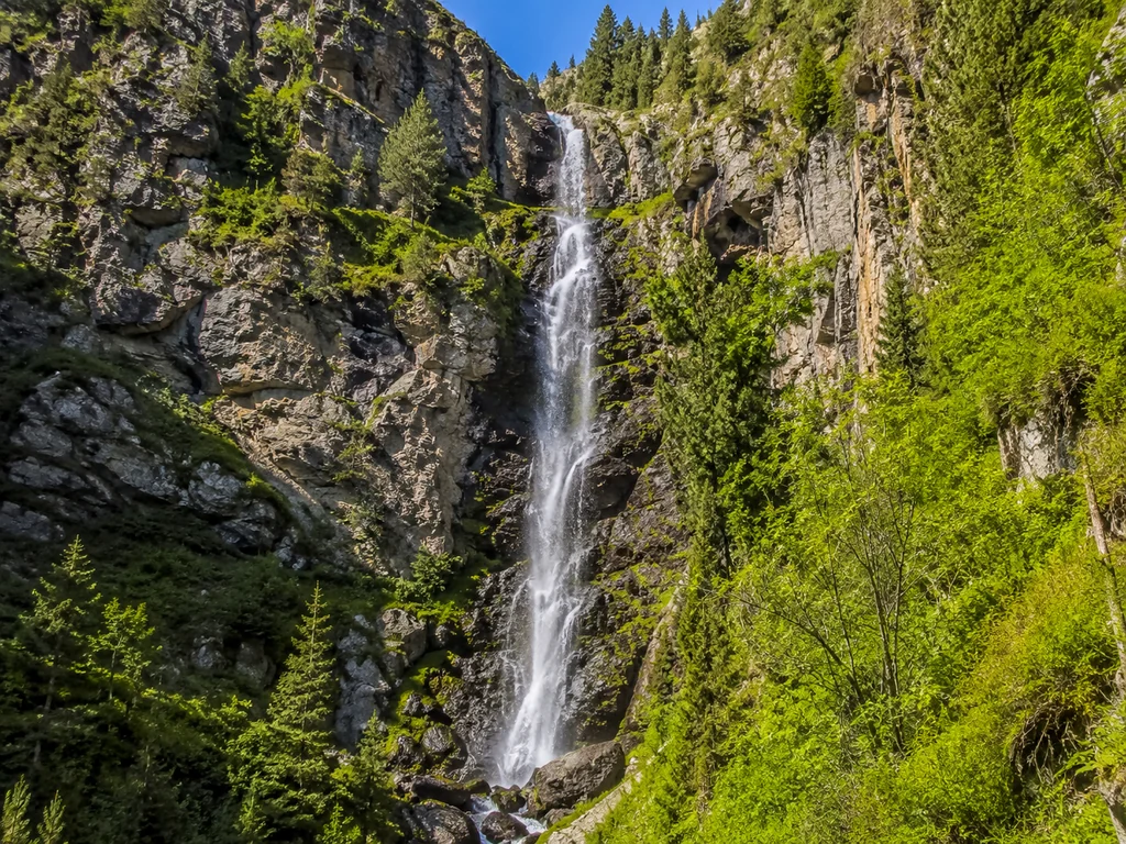
For those who have already hiked to BAO or Kok-Zhailau, two-day expeditions to Turgen Gorge (Medvezhy Waterfall, canyons) or the Kolsai Lakes (three lakes at 1800–2200 m) are suitable — a distance of 15–25 km with overnight camping. On the Turgen route, the first half of the day is spent climbing to Medvezhy Waterfall (30 m drop) and walking through sandstone canyons, while the second half is descending to the camp with equipped fire pits. The Kolsai route is more challenging: the transition between the first and second lake takes 3–4 hours with an elevation gain of 300 m along a forest trail. Group gear (tents, sleeping bags, gas stoves) is distributed among participants and provided on-site along with hot meals cooked over a fire. You only need to bring personal clothing and 3–4 liters of water. At the Kolsai Lakes, the most spectacular part is the transition between the second and third lake: a 400 m elevation change, but the views open up to all three levels at once.
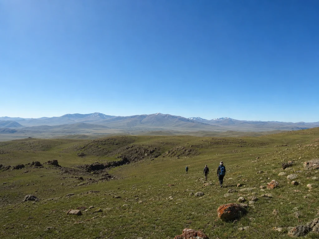
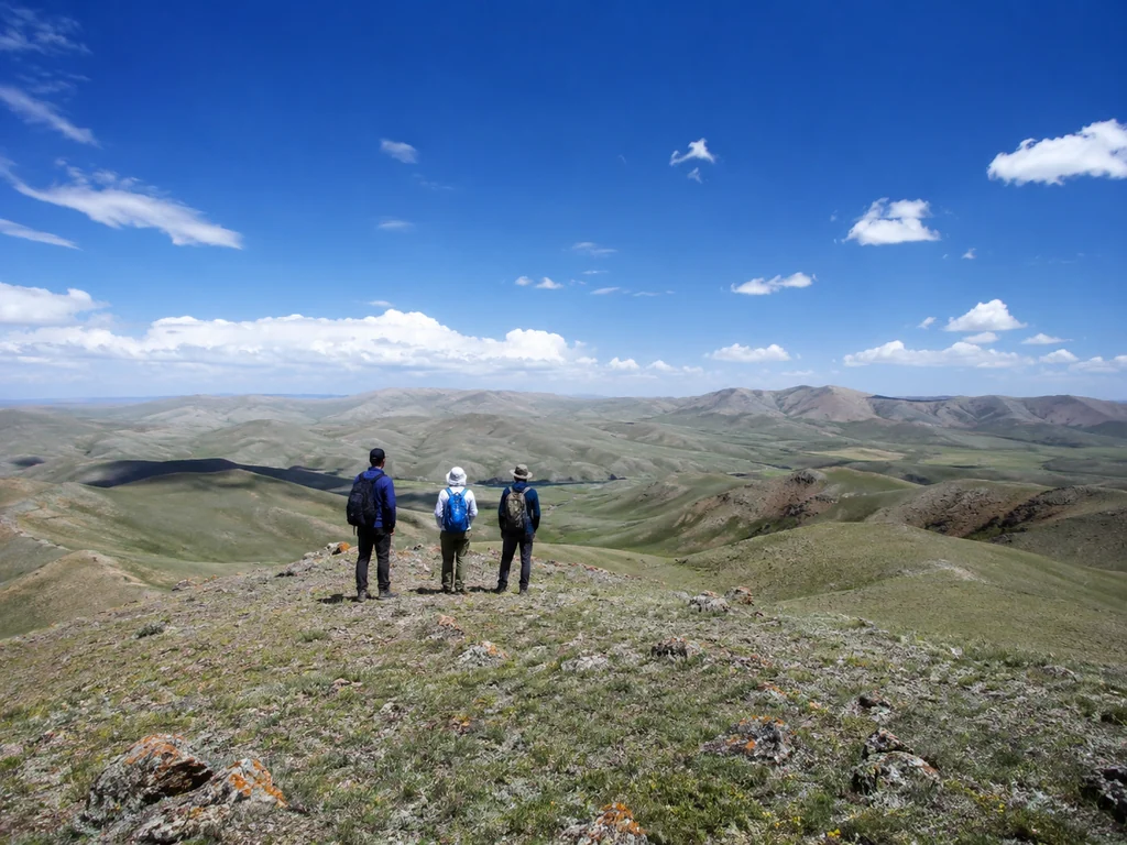
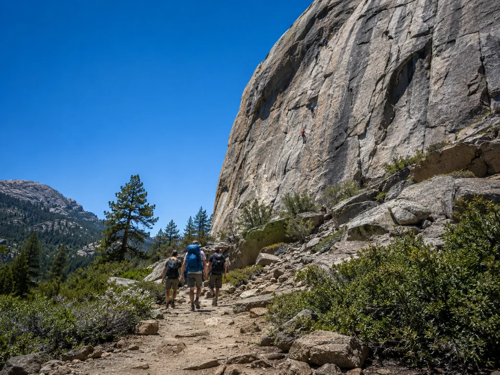
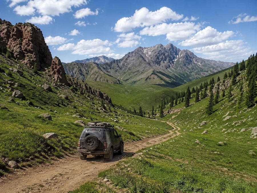
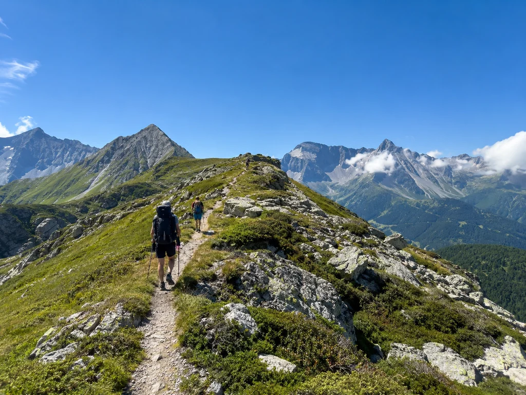
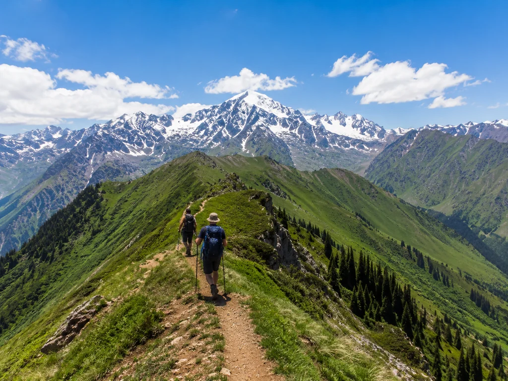
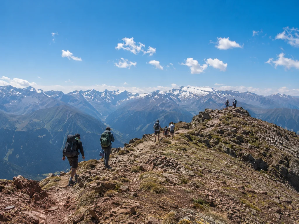
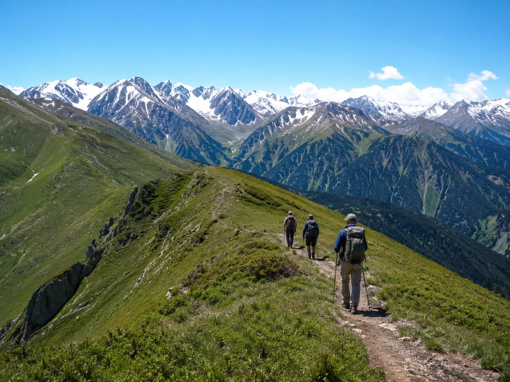
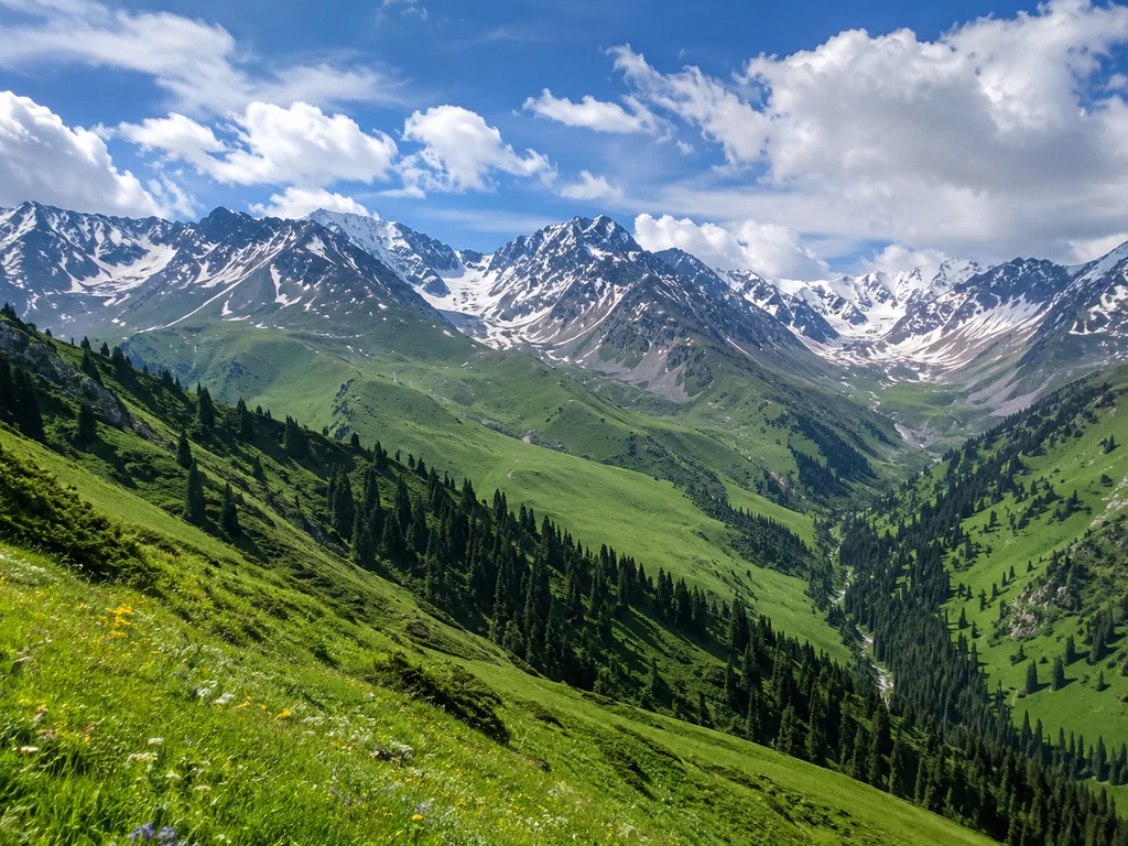
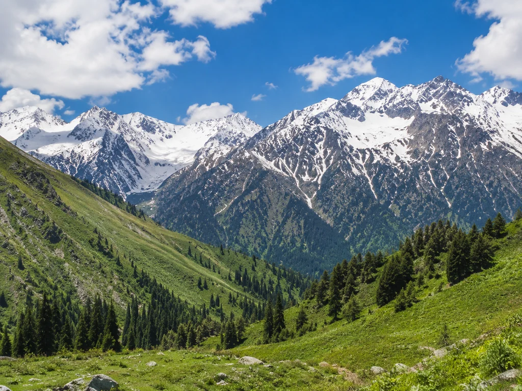
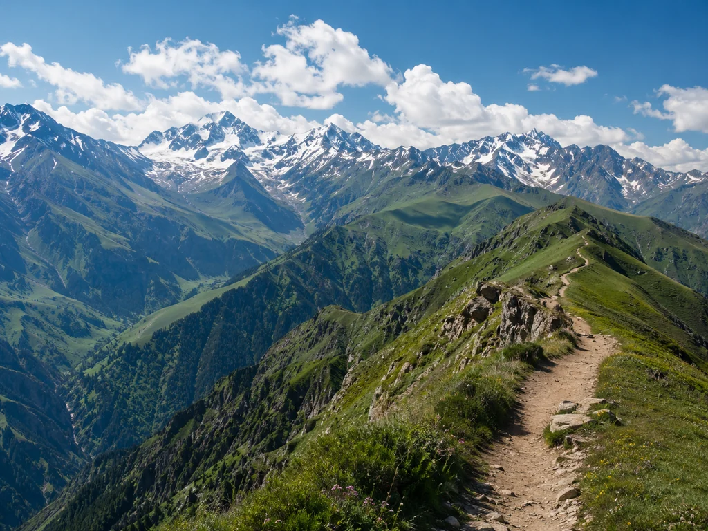
Multi-Day Expeditions for Experienced Hikers: Up to 50 km and 3500 m
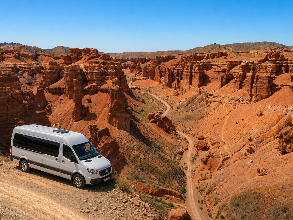
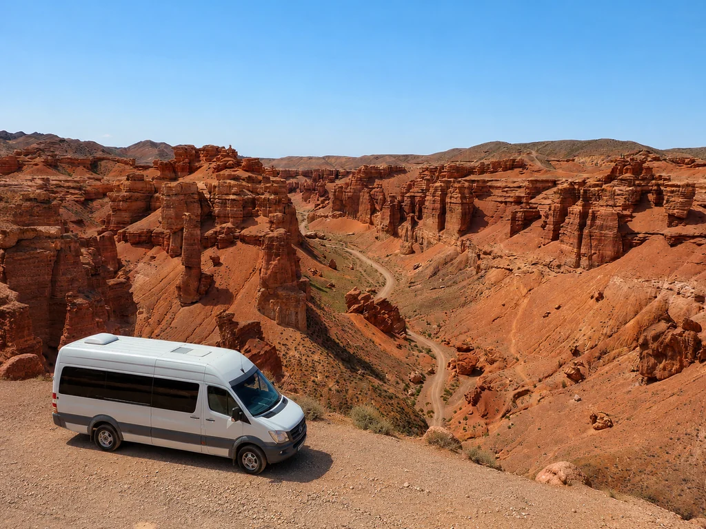
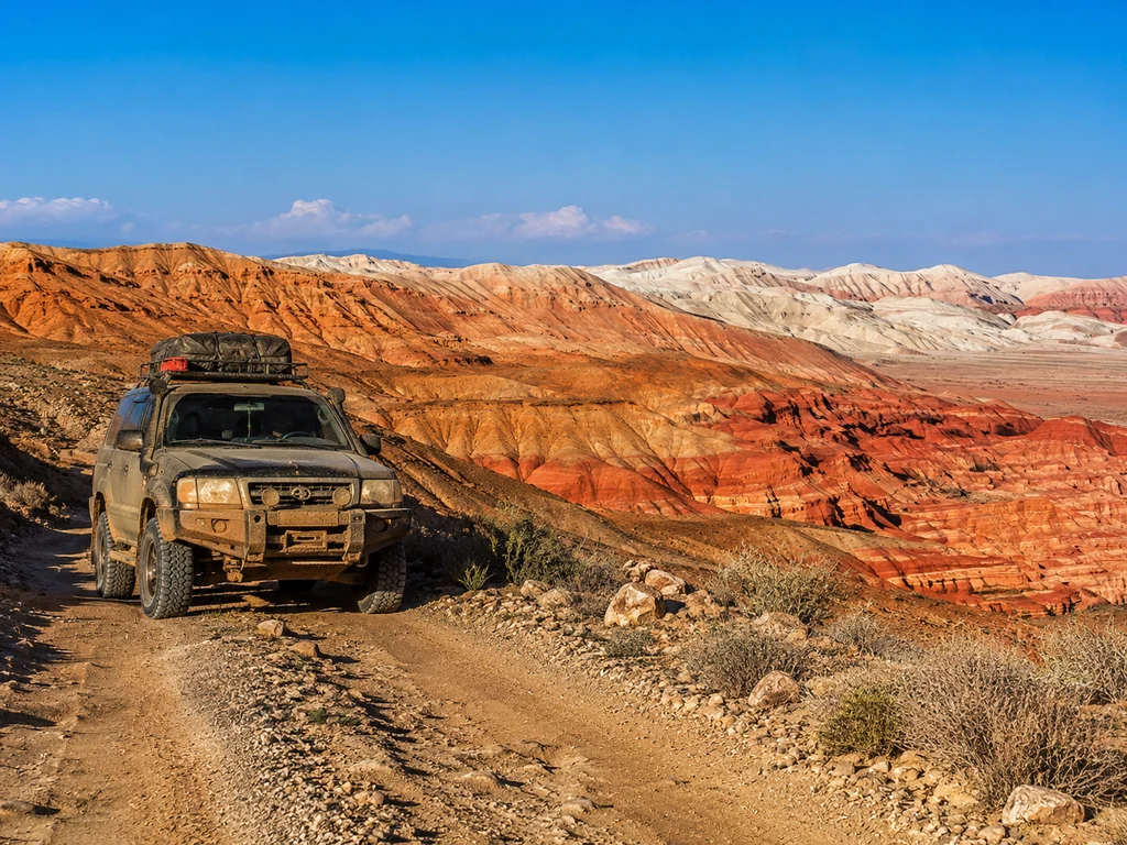
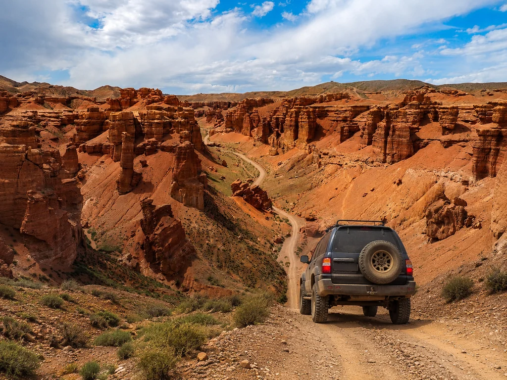
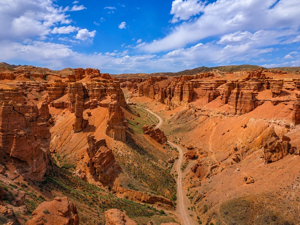
Day hikes from Almaty for a first outing are one-day routes to the Big Almaty Lake (2511 m) or Kok-Zhailau Pass (2500 m). For prepared tourists, toor offers multi-day treks (4–5 days) with distances up to 50 km and elevation gains up to 3500 m — for example, climbing Kumbe Peak (3200 m) or a combined jeep + hiking tour through Charyn Canyon. For experienced hikers, trekking from Almaty with toor means multi-day expeditions (4–5 days) with distances up to 50 km and elevation gains up to 3500 m. Multi-day hikes from Almaty for experienced hikers are expeditions (4–5 days) with distances up to 50 km and elevation gains up to 3500 m. On the way to Kumbe Peak, the route goes from Kok-Zhailau through alpine meadows and rocky screes, with the fourth day reaching the summit offering views of the Tuyuk-Su glacier and the Zailiysky Alatau ridge. In the combined tour to Charyn Canyon (200 km from the city), you travel by jeep, then hike 3 km along the canyon floor among 150-meter red cliffs, and spend the night in a yurt camp by the Charyn River. In multi-day trips, the key factor is acclimatization: we ascend no more than 500 m per day to avoid altitude sickness.
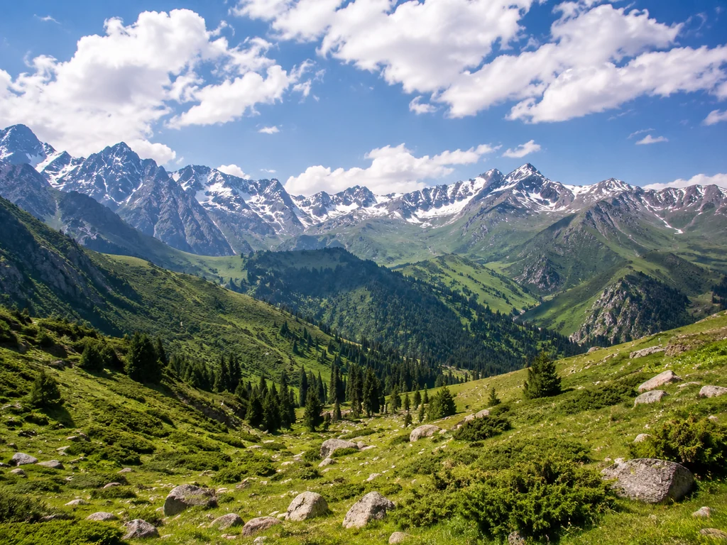
Top 5 Routes: BAO, Alma-Arasan, Kok-Zhailau, Turgen, Kolsai
Walking excursions in Almaty with toor include visits to BAO, Kok-Zhailau, and Turgen Gorge. There are dozens of routes around Almaty, but five are must-visits. Let's compare them by difficulty, length, altitude, and what you'll see.
Route Comparison Table: Parameters and Features
| Route | Altitude (m) | Distance (km) | Elevation Gain (m) | Difficulty | What You'll See |
|---|
| Big Almaty Lake | 2511 | 6–8 | 300–400 | Easy | Turquoise lake, mountain panorama |
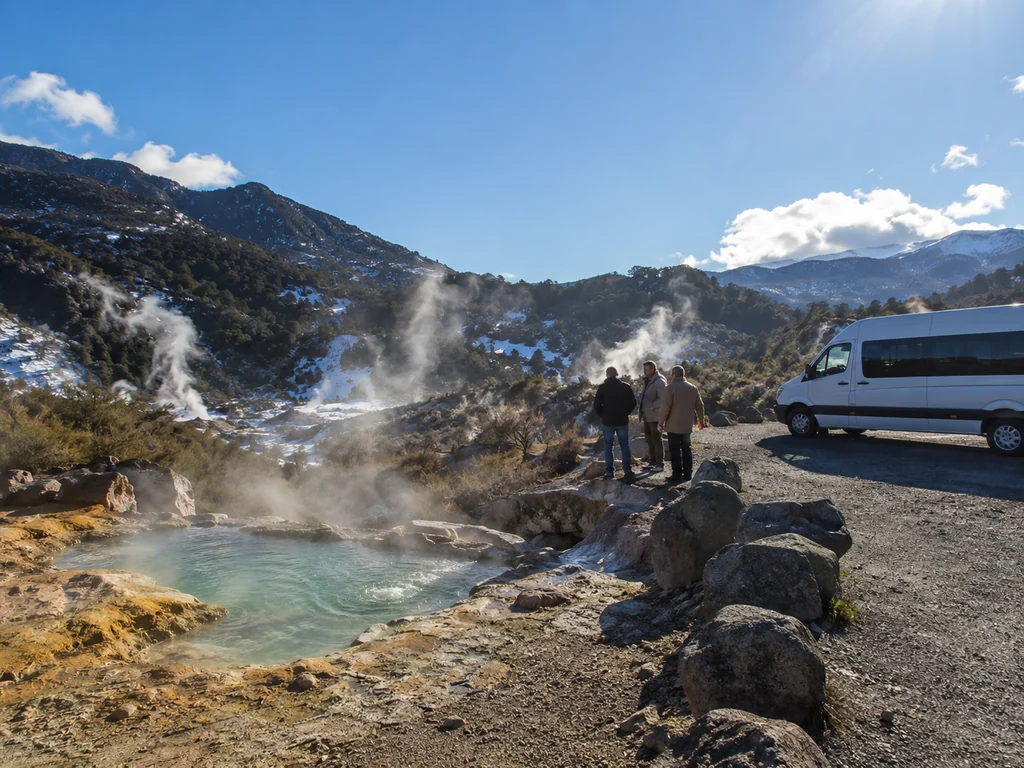
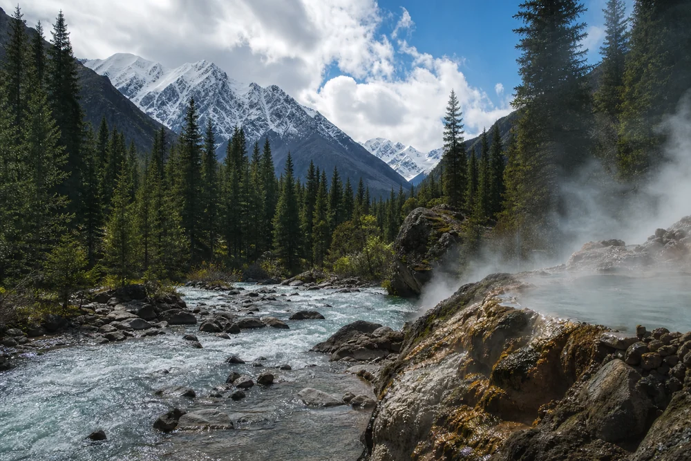
| Alma-Arasan Gorge | 1800–2200 | 8–10 | 400–500 | Easy–Moderate | Thermal springs, waterfall |
| Kok-Zhailau Pass | 2500 | 7–9 | 350–450 | Easy | City panorama, alpine meadows |
| Turgen Gorge | 1500–2000 | 10–12 | 500–600 | Moderate | Medvezhy Waterfall, canyons |
| Kolsai Lakes | 1800–2200 | 15–25 | 400–700 | Moderate–Difficult | Three lakes, coniferous forests |
For your first outing, choose BAO or Kok-Zhailau — they are technically simple but give a full mountain experience.
BAO vs. Kok-Zhailau: Which to Choose for Your First Time
BAO and Kok-Zhailau are the two most popular routes for beginners, but they offer different experiences: BAO features a lake and mountain plateau, while Kok-Zhailau offers a city panorama and alpine meadows. At BAO, go in the morning to catch the calm and mirror-like water surface without ripples — by noon the wind picks up and the reflection of the peaks disappears. Kok-Zhailau (2500 m) is technically slightly easier due to less elevation gain, but the final climb along the serpentine is more challenging than the smooth trek along the riverbed at BAO. Both routes take 4–6 hours and are suitable for day trips with children aged 10 and up. If you're going for photos, choose Kok-Zhailau at sunset: the sun lights up the city and mountains, giving you shots without overexposure.
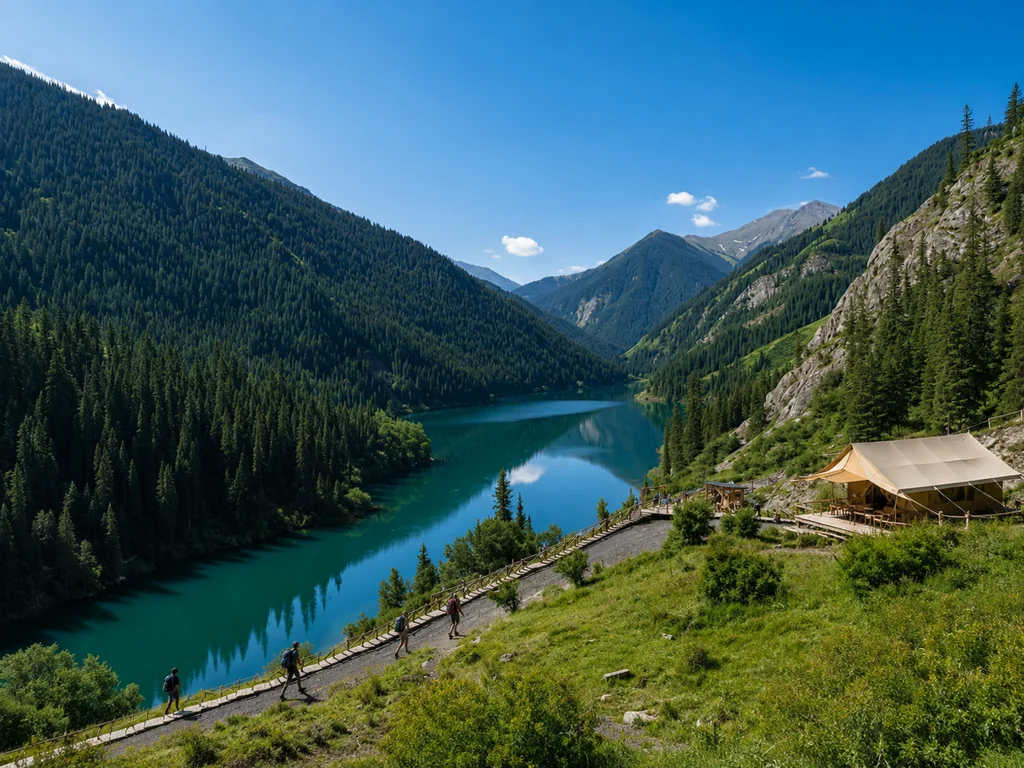
Turgen Gorge and Kolsai Lakes: For Those Who Want More
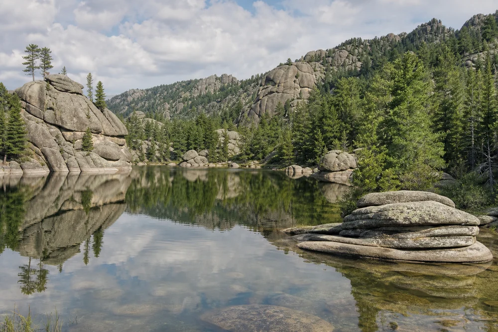
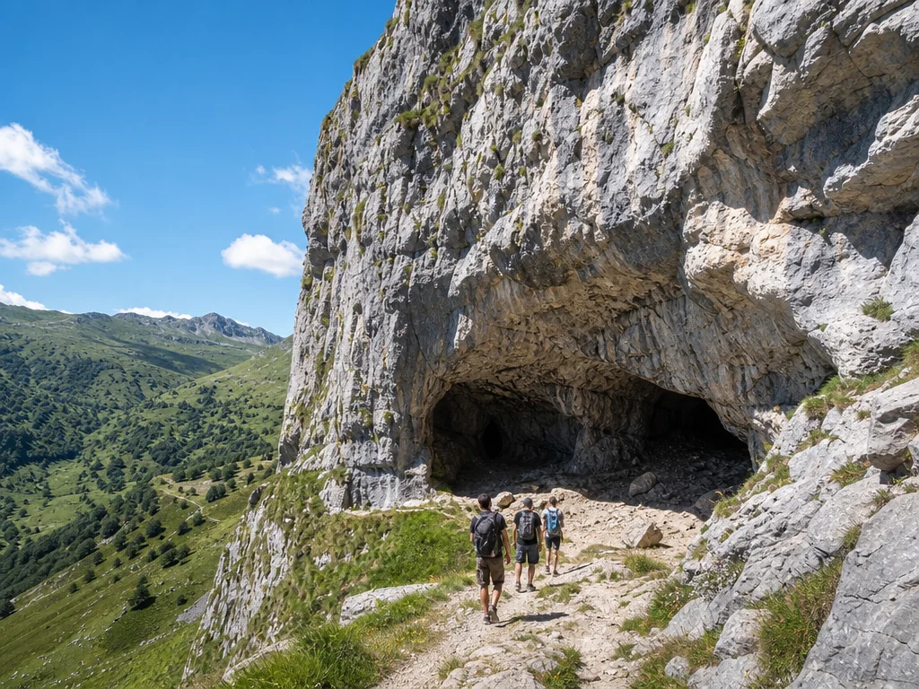
Turgen Gorge and Kolsai Lakes are routes for those who have already done BAO and want more distance and variety: in Turgen, waterfalls and canyons; at Kolsai, three lakes of different colors. Turgen Gorge (1500–2000 m) is more compact — 10–12 km along the canyon floor with Medvezhy Waterfall (30 m) and thermal springs at the finish, which you can visit after the trek. The Kolsai Lakes (1800–2200 m) stretch over 15–25 km through coniferous forest — the route goes from the Lower to the Upper Lake, with an elevation gain of 400–700 m, requiring endurance for 6–8 hours of pure walking. Both options are full-day or two-day hiking trips. At the Kolsai Lakes, the water in each lake has a different shade: the first is turquoise, the second is emerald, and the third is dark blue due to varying depth and mineral composition.
Independent Hike or Guided Tour: Calculating Real Costs
Guided hikes in Almaty from toor start at 8,900 KZT and include transfer, insurance, and a Ministry of Emergency Situations rescuer guide. Many wonder, "Why pay a guide when I can go alone?" Let's calculate the real costs for a one-day route to the Big Almaty Lake — independently and as a tour.
Cost of an Independent Hike to BAO: Full Breakdown
An independent one-day hike to the Big Almaty Lake will cost at least 6,500–8,000 KZT per person: taxi from Almaty to the dam — 3,000–4,000 KZT one way, entry to Ile-Alatau Park — 850 KZT, lunch and water — 1,500–2,000 KZT, trekking pole rental — 1,000 KZT. The calculation does not include trekking boots (from 15,000 KZT per pair) and a raincoat (from 3,000 KZT) — buying them is a one-time expense, but on your first outing, it blows the budget. At an altitude of 2500 m, mobile signal drops, and without an offline navigator like Maps.me with the park map downloaded, you risk taking the wrong trail towards Kok-Zhailau instead of BAO. The most common mistake of independent tourists is not accounting for the return trip: getting a taxi from the lake back to the city is difficult, and drivers ask for 5,000–6,000 KZT, with no room for bargaining.
Cost of a Tour with toor: What's Included
A one-day route to BAO with toor costs from 8,900 KZT per person — this includes round-trip transfer from the city, a certified guide (Ministry of Emergency Situations rescuer), lunch and snacks, participant insurance, group gear (first aid kit, radio), and photo support. Groups range from 4 to 10 people with an average pace of 2–3 km/h with stops — the guide adjusts the pace to the slowest member, no rushing. On the trail, the guide shows hidden viewpoints not mentioned in travel blogs and explains the geology of the gorge — the BAO dam is 58 meters high, and the water color changes from turquoise to emerald depending on lighting. The difference from the independent option is only 900–2,400 KZT, but you get round-trip transfer, insurance, and a guide who knows the route and safe photo spots.
What You Lose Without a Guide: Risks and Hidden Costs
Without a guide, you risk getting lost (in Ile-Alatau Park, there is no stable mobile signal above 2000 m), getting injured without a first aid kit or help, and facing fines for breaking park rules — from 10 MCI (34,500 KZT). Mudflows or rockfalls on the trail to the lake occur annually, and without a radio linked to the weather center, you won't receive timely warnings from the Ministry of Emergency Situations. Renting a satellite phone for a day costs from 5,000 KZT, calling a private evacuation vehicle for an ankle injury costs from 30,000 KZT, not including treatment in the city. The independent option is justified if you are an experienced hiker with a navigator, first aid kit, and route knowledge — for a beginner, saving 2,000 KZT risks ruining the trip.
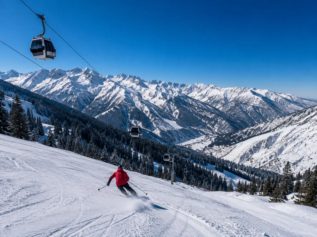
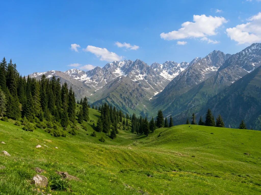
Best Seasons for Hiking in the Mountains of Almaty
The hiking season in the Almaty mountains is May–October, but not all routes are passable at the start and end of the season. Let's break down when and where it's best to go.
Route Calendar by Month: What's Available When
| Month | Available Routes | Altitude (m) | Features |
|---|
| May | Charyn Canyon, Alma-Arasan Gorge, Lake Issyk | up to 2000 | Snow above 2300 m, thawing, muddy trails |
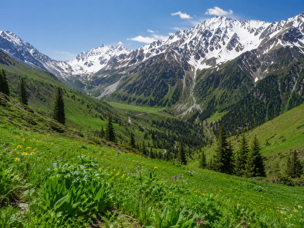
| June | BAO, Kok-Zhailau, Turgen Gorge | up to 2500 | Green grass, full-flowing waterfalls, poppy blooming |
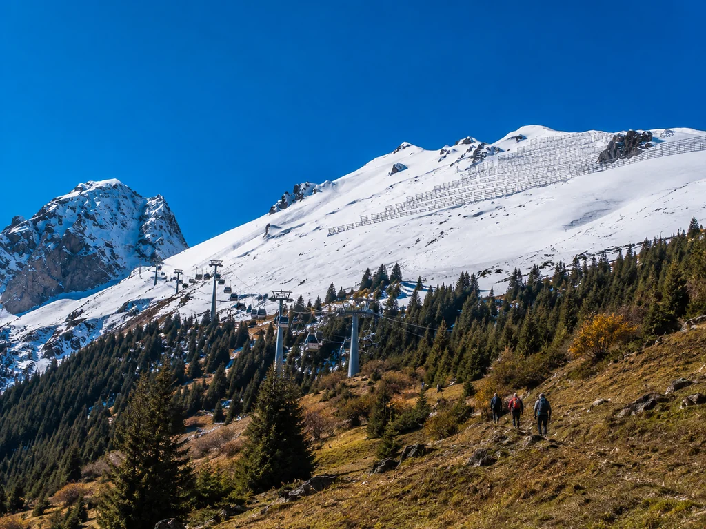
| July–August | All routes: BAO, Kok-Zhailau, Kolsai, Kumbe Peak | up to 3500 | Peak season, dry, warm, maximum accessibility |
| September | All routes except high-altitude above 3000 m | up to 3000 | Golden autumn, fewer tourists, cool |
| October | Charyn Canyon, Alma-Arasan Gorge, Lake Issyk | up to 2000 | Possible snow above 2500 m, early sunsets |
In May, there is still snow on the trail above 2300 m at BAO and Kok-Zhailau — you need high-top trekking boots; sneakers will get wet.
Why July–August is Peak Season: Weather and Conditions
July and August are the most comfortable months for hiking: daytime temperatures in the mountains are +18–25°C, minimal precipitation, snow has melted on all routes up to 3500 m, and daylight lasts 14–15 hours. During this time, all trails in Ile-Alatau National Park are open — from walks to waterfalls near Turgen to technical ascents of Kumbe Peak. The only downside is that popular routes (BAO, Kok-Zhailau) are crowded on weekends: cars park along the road a kilometer before the trailhead. During peak season, hit the trail no later than 8 AM to avoid queues on narrow sections and catch the morning light for photos.
May and October: Pros and Cons of the Shoulder Season
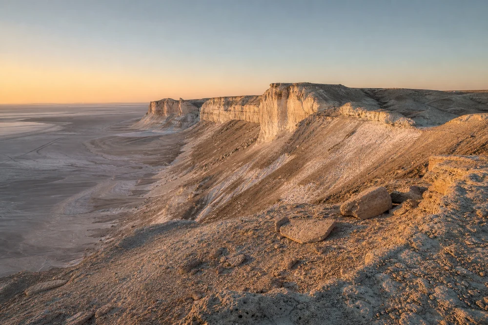
In May and October, only low-altitude routes (up to 2000 m) are accessible — Charyn Canyon, Alma-Arasan Gorge, Lake Issyk — but the advantage is that there are 3–4 times fewer tourists, and transfer prices are 15–20% lower. In spring, trails are muddy after snowmelt — on Alma-Arasan and Issyk, you'll need membrane footwear, while in Charyn Canyon it's dry and comfortable. In autumn, the weather is unpredictable: at the end of September it's still +20°C during the day, but by mid-October it's +5°C with wind in the gorges. In October, the light at Charyn Canyon is ideal for photos — the sun is low, shadows are long, and the canyon walls take on a reddish hue not seen in summer.
What to Bring on a Hike: Complete Gear List
Proper gear is half the success. Let's break down what you absolutely must bring and what you can leave at home, and why trekking boots are more important than sneakers.
Essential Minimum for a Day Hike
On a day hike with toor, you must have: trekking boots (not sneakers — on rocky trails, it's easy to twist an ankle), a 30–40 L backpack, a raincoat (weather in the mountains can change in 15 minutes), sunglasses (snow and rocks reflect UV), 1.5–2 L of water, and snacks. Sneakers with low tops put 4–5 times more strain on the ankle on descents from the lake than on flat ground, and on the screes of Kok-Zhailau, soles without tread slip on fine shale — the risk of sprains or falls is maximal. In addition to a raincoat, bring a dry bag for your phone and documents: a sudden downpour in Turgen Gorge can hit in 5–10 minutes, and a wet smartphone leaves you without maps. Trekking boots are not just marketing: on the descent from the lake, the load on the ankle is 4–5 times higher than on flat ground, and in low-top sneakers, the risk of sprain is maximal.
What toor Provides: Group Gear on Multi-Day Hikes
On multi-day hikes (2–5 days), we provide group gear: tents (2–3 people per tent), stoves and gas for cooking hot meals, a first aid kit, a satellite phone or radio for communication, and sleeping bags (on request). On routes like Kolsai–Kaindy with overnight stays at 2000–2200 m, the nighttime temperature range can reach 10–15°C — a sleeping bag with a comfort rating of −5°C is essential, and you can borrow one from us if you don't have your own. The stoves run on a propane-butane mix that burns stably down to −10°C, unlike gasoline stoves that are finicky at altitude. A satellite phone is not a luxury: in gorges and above 2500 m, mobile signal is absent, and in case of injury or sudden weather change, it's the only way to call for help.
Navigation Apps: What Works in the Almaty Mountains
In the Almaty mountains, offline maps like Maps.me (download the Kazakhstan map in advance) and 2GIS (which has tracks of popular routes) work, but GPS signal can be lost in gorges — back up your route with screenshots of the map. In Ile-Alatau Park, Google Maps shows roads that don't exist and fails to display many trails, especially above 2000 m — for example, the trail from Kumbe Peak to Kok-Zhailau Pass is simply not there. Maps.me is more accurate on dirt roads and trails, but its track database in Kazakhstan hasn't been updated since 2023 — cross-check tracks with AllTrails or Wikiloc, where active Almaty guides post current GPS files. Don't rely on Google Maps — in Ile-Alatau Park, it shows roads that don't exist and doesn't display many trails, especially above 2000 m.
Safety Rules in the Mountains: Altitude, Weather, Wild Animals
The mountains are not a city park: weather changes in minutes, you may encounter wild animals on the trail, and altitude affects you. Let's break down real scenarios and what to do in each.
Altitude Sickness: Symptoms and What to Do
Altitude sickness (high-altitude hypoxia) starts above 2500 m — symptoms: headache, nausea, dizziness, rapid heartbeat. At the Big Almaty Lake (2511 m) and Kok-Zhailau (2500 m), the risk is minimal, but at the Kolsai Lakes (2200 m) and Kumbe Peak (3200 m), it's real. The body can't adapt if you ascend faster than 500 m per day: blood thickens, oxygen saturation drops. In such cases, the guide slows the pace to 1.5–2 km/h and takes stops every 30–40 minutes. At the first symptoms, descend 300–500 m: headache and nausea resolve in 1–2 hours without medication, the key is not to endure and not to continue ascending.
Sudden Weather Changes: How to Prepare and What to Do
In the Almaty mountains, weather can change from sunny to stormy in 15–20 minutes — temperature drops by 10–15°C, and rain or hail starts. You must have a raincoat (not an umbrella — useless in wind) and a warm layer (fleece or windbreaker). During a thunderstorm, do not stand under isolated trees, on peaks, or open ridges — crouch in a low area, put away trekking poles (they attract lightning). After rain, trails on Kok-Zhailau and Turgen become slippery: the group pace drops to 1 km/h, and the risk of sprains doubles. Before heading out, check the forecast on Windy or AccuWeather — for Almaty routes, these are more accurate than standard apps.
Encounter with Wild Animals: Bears, Wolves, Snakes
In the Almaty mountains, there are bears (rarely, above 2500 m), wolves (in gorges), and snakes (in lowlands, up to 2000 m). If you encounter a bear, do not run (it triggers pursuit), slowly back away, avoid eye contact, and speak in a calm voice. Wolves do not attack groups — they are afraid of noise: loud talking, whistling, banging sticks scare them away from 50–100 m. Snakes (vipers) are active in May–June: watch where you step on the trail and don't put your hands in crevices, especially in tall grass along streams at the foot of Turgen. Having a certified guide with a first aid kit (anti-shock, antihistamine) is critical — in case of a bite or injury, they can provide first aid until rescuers from the Ministry of Emergency Situations arrive.
Insurance: Mandatory or Optional
Insurance for hiking in the Almaty mountains is not a formality: in case of injury (sprain, fracture, heatstroke), calling rescuers and helicopter evacuation costs from 100,000 KZT. At toor, participant insurance is included in the cost of every tour — covering the duration of the hike with evacuation and medical assistance. Regular medical insurance does not cover active mountain sports — you need a policy marked "trekking" or "mountaineering". Check if helicopter evacuation is included: many policies only cover ground transport to the nearest hospital, but in Almaty gorges (Charyn, Kolsai), ground access is unavailable.
Conclusion
Hiking in the Almaty mountains is an accessible form of recreation suitable for beginners and experienced hikers. We've gathered the main takeaways so you can get the most out of your hike and avoid problems.
Key Takeaways
- Choose a route according to your level: beginners are suited for Kok-Zhailau, Big Almaty Lake, and Medeo — they require no special training and take from 2 to 6 hours.
- Gear determines comfort: trekking boots, a raincoat, 1.5–2 L of water, and snacks are the essential minimum even for a short one-and-a-half-hour outing.
- Safety is a priority: check the weather forecast, don't hike alone, inform loved ones of your route, and bring a power bank for your phone.
- Insurance saves your budget: evacuation from the mountains costs from 100,000 KZT — make sure your policy covers active sports and helicopter transport.
- A guide is not a luxury but a safety net: with a guide, you won't get lost at trail junctions, learn the history of the gorges, and get help in case of sudden weather changes.


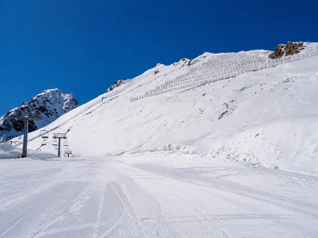
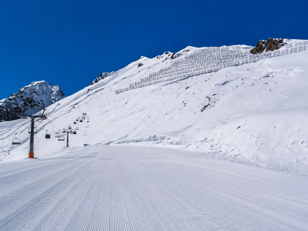
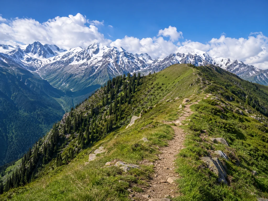
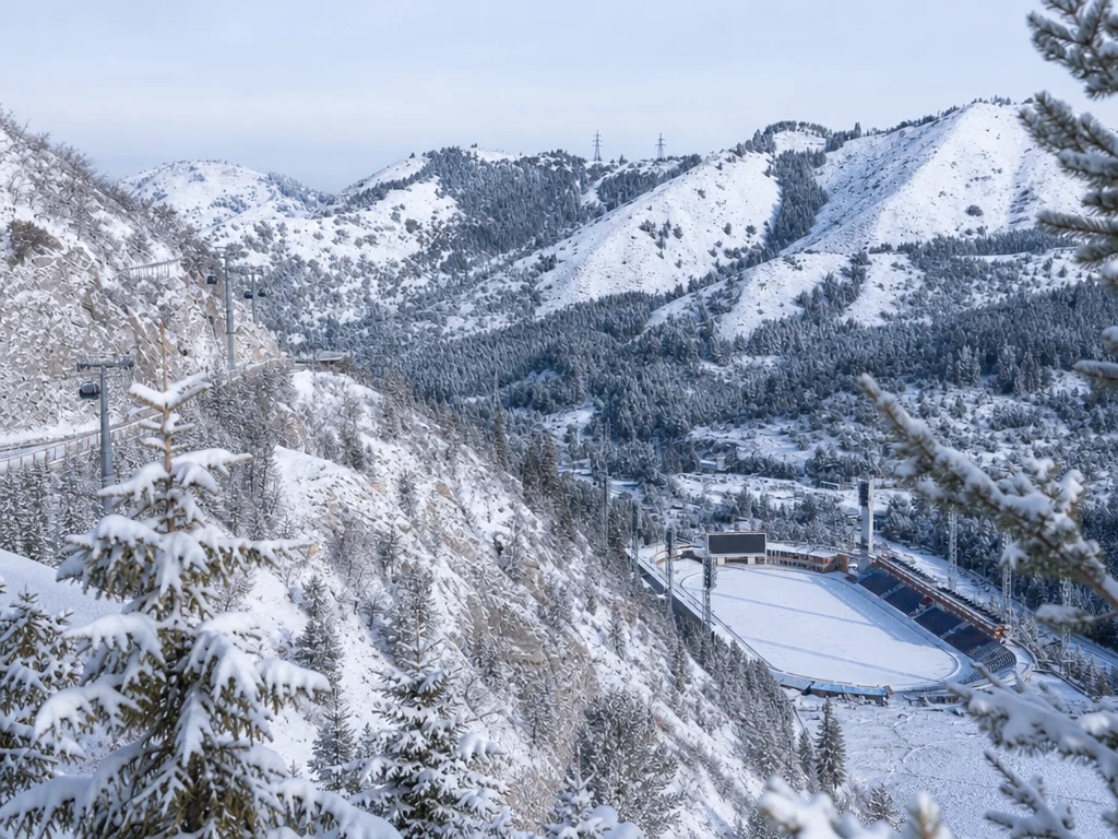 Winter and summer