At toor, we organize one-day tours to the Assy Plateau from Almaty — hiking (12 km, from 34,695 KZT/person) and jeep tours (4-5 hours, from 37,064 KZT/person). The price includes transfer, a certified guide, a snack, and insurance. Season: June–October. Groups of up to 8 people.
Assy Plateau: Location and How to Get There from Almaty
Let's figure out where the Assy Plateau is located, its altitude, and how to get there — on foot or by jeep.
Where is the Assy Plateau and What is its Altitude
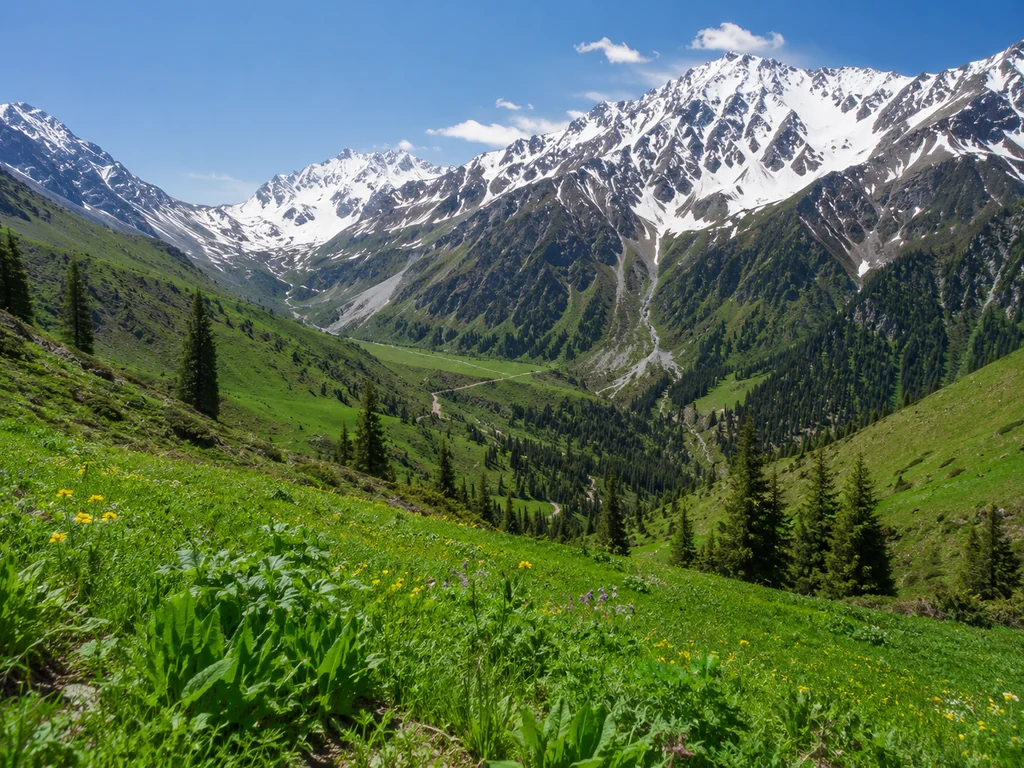
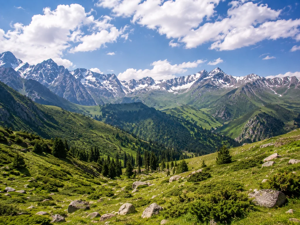
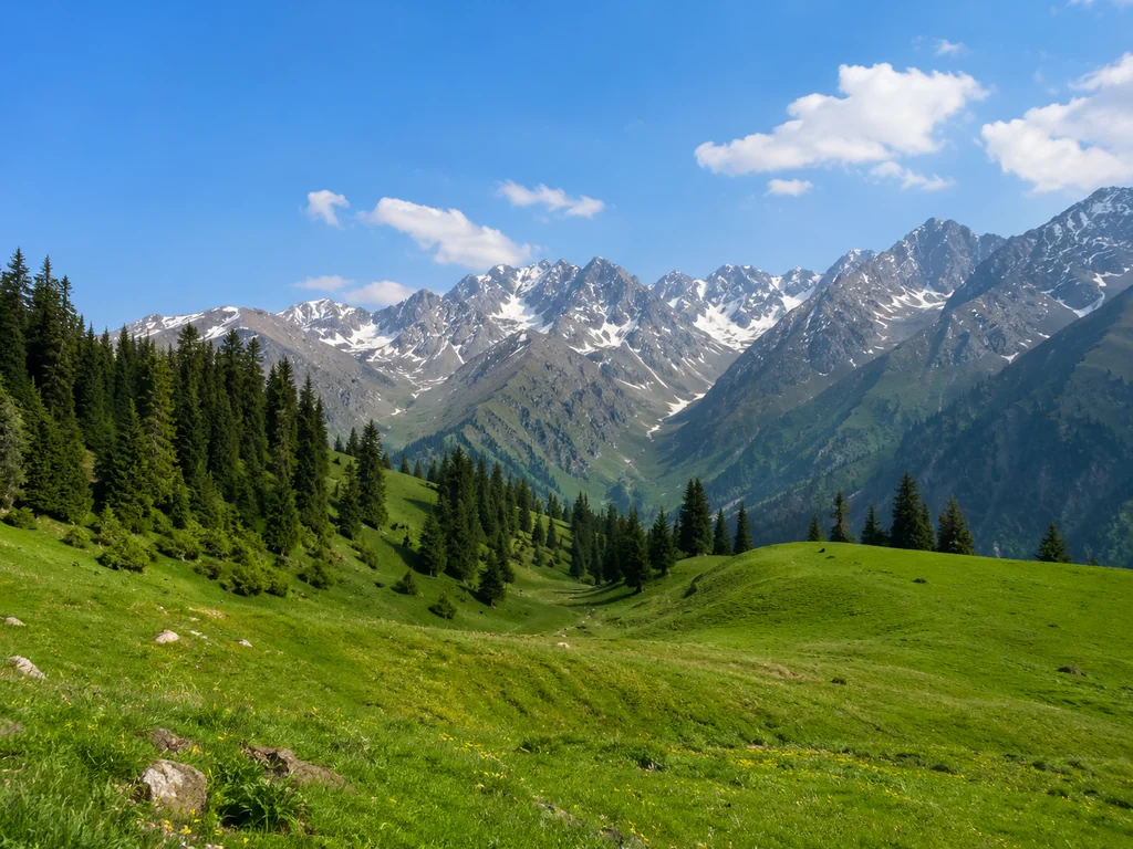
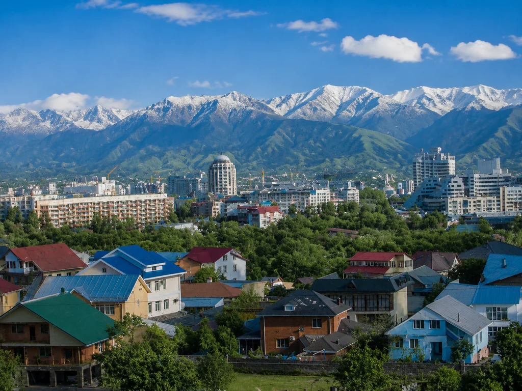
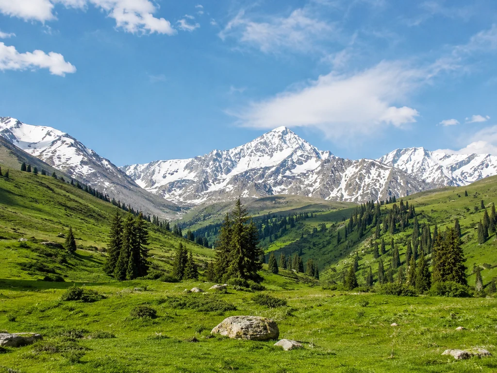
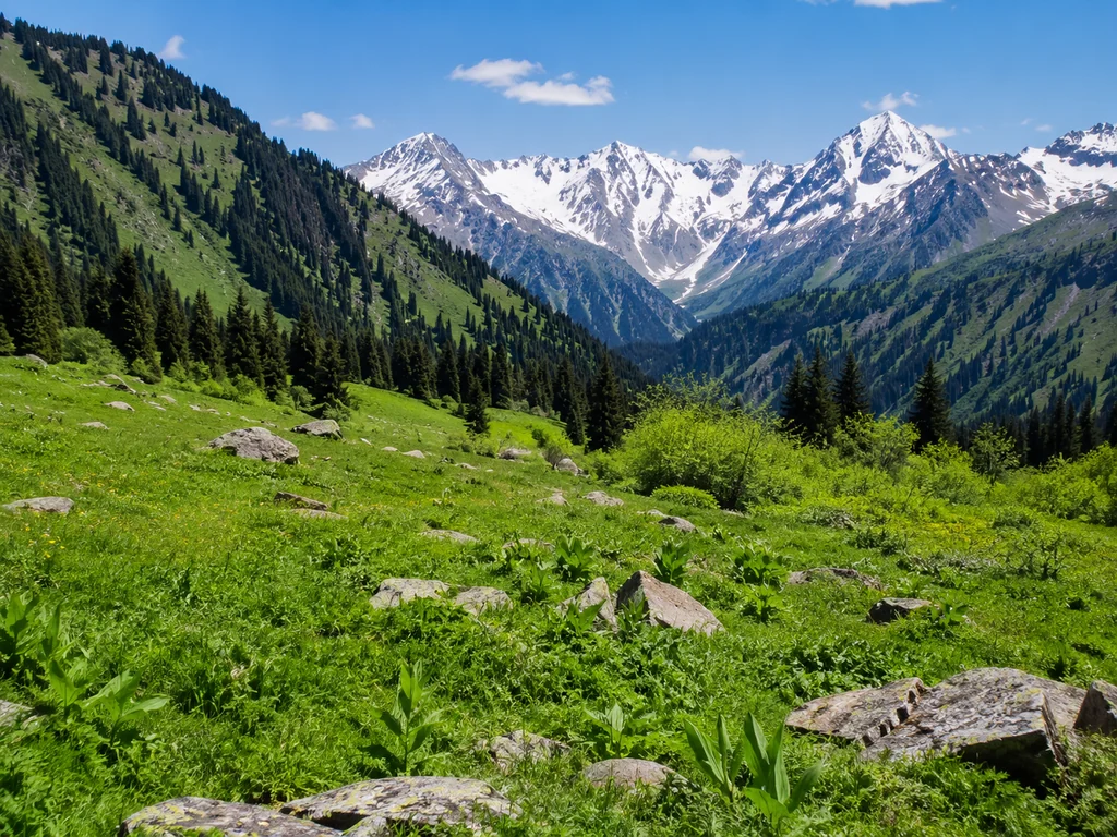
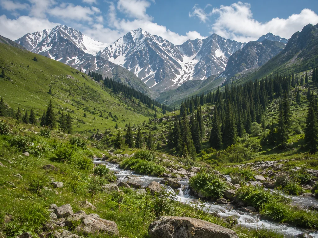
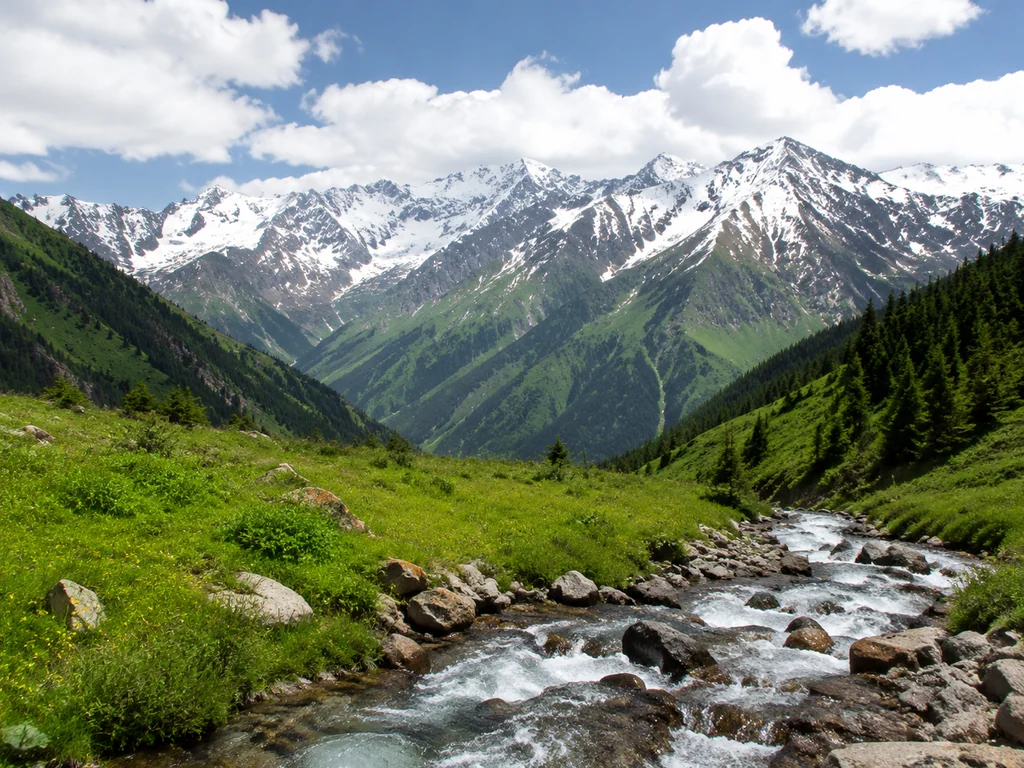
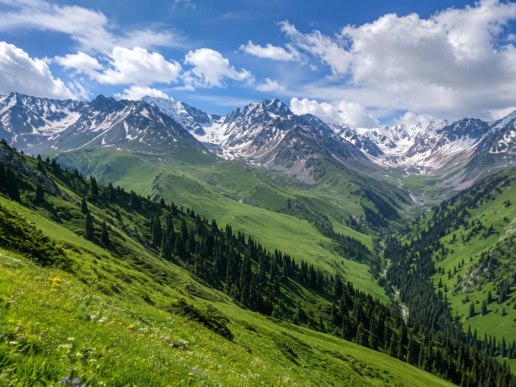
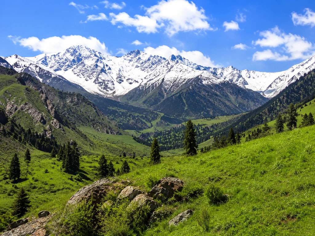
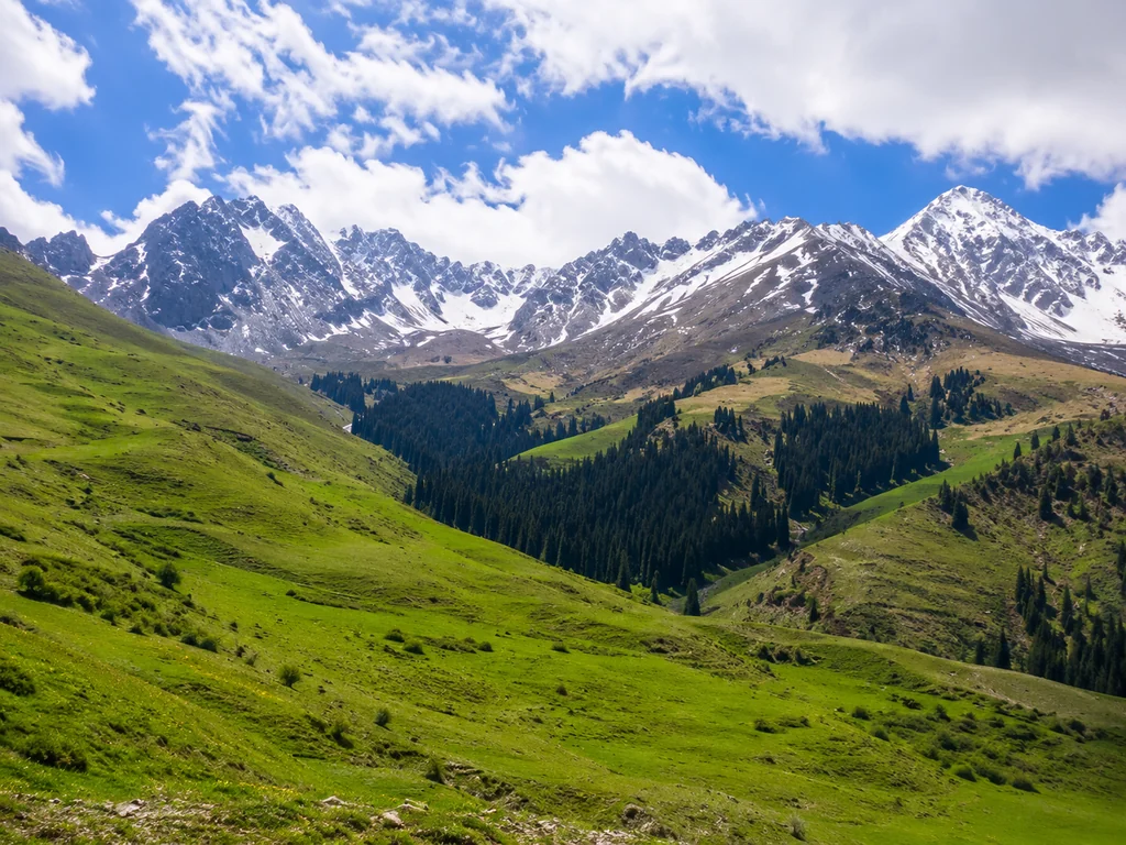
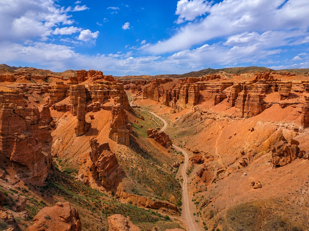
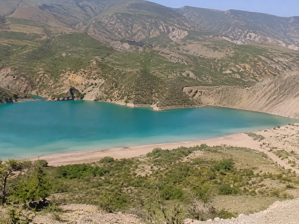
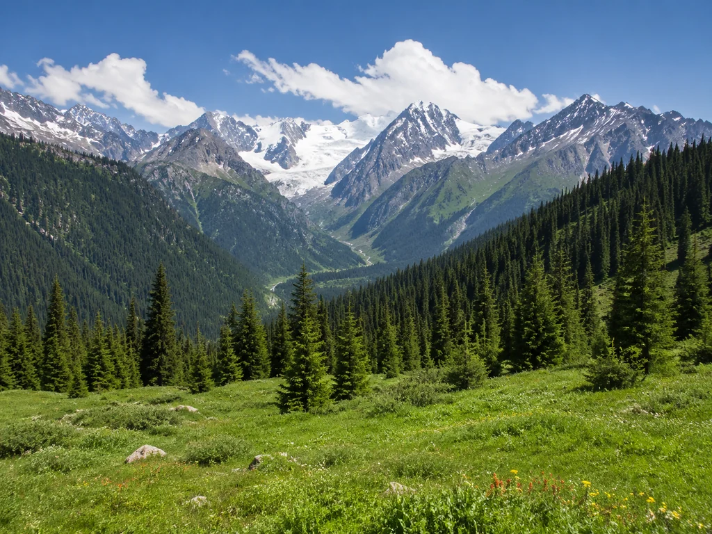
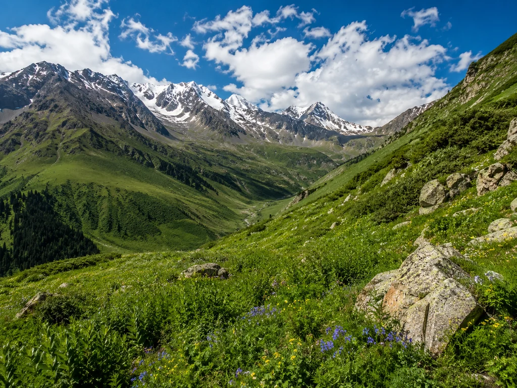
The Assy Plateau is located in the Zailiysky Alatau, 70 km from Almaty, at an altitude of 2800–3200 meters above sea level. This section of the ridge offers a direct view of Talgar Peak (4979 m) — the highest point of the Zailiysky Alatau, and the alpine meadows here are covered with a carpet of edelweiss and juniper. The visiting season is from June to October, when the trails dry out and the snow melts to the upper border of the meadows. Due to the altitude, the temperature on the plateau is 8–10°C lower than in the city — a key factor when choosing clothing, especially for those planning to stay on the route for several hours.
How to Get to the Assy Plateau with a toor Tour
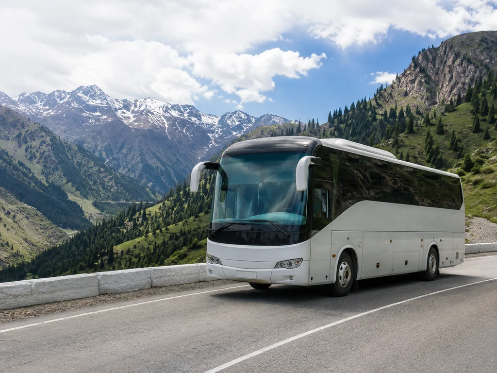
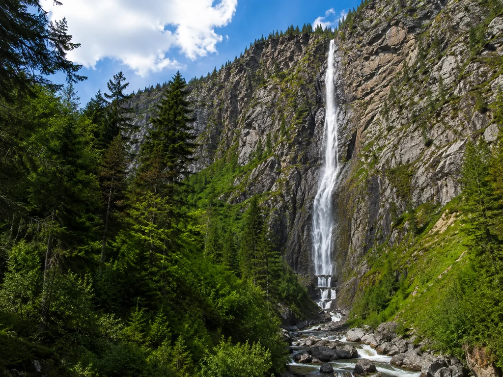
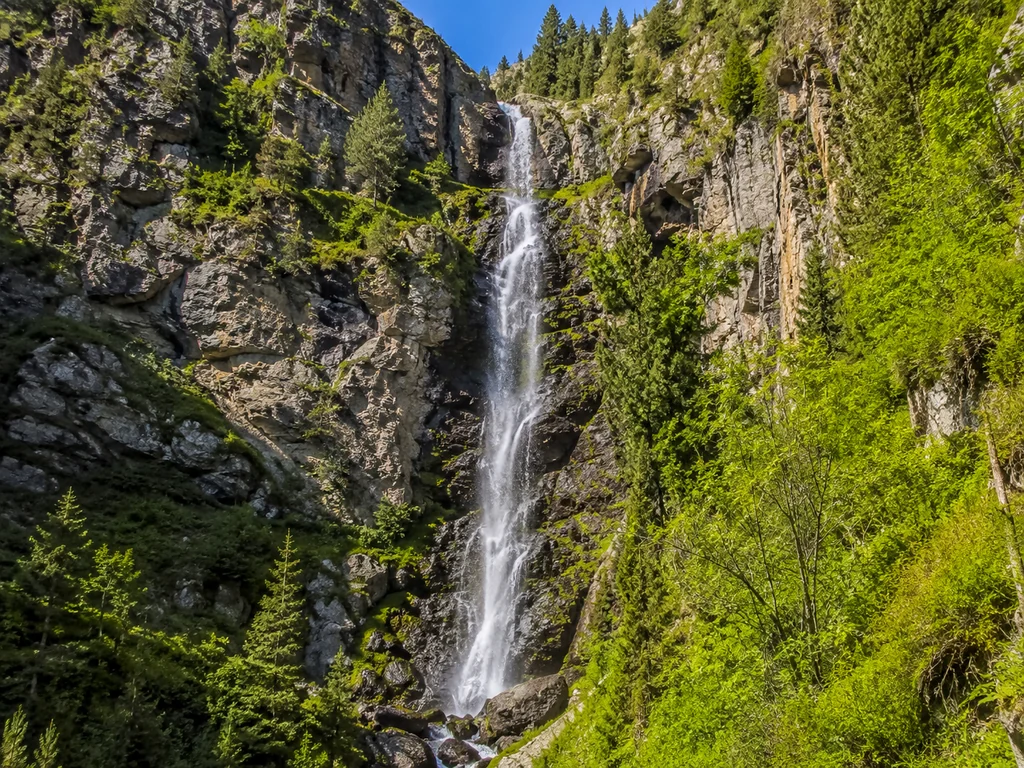
Through toor, you can book a transfer from the city to the Assy Plateau and back — departure at 8:00 AM, return at 6:00 PM, the drive takes about 1.5 hours one way. The route passes through the Alma-Arasan gorge with two photo stops — at the waterfall and at the observation deck above the city. The price includes a comfortable minibus, insurance, and a snack with a thermos of tea. Before departure, the guide checks the weather forecast at altitude — in case of strong wind or a thunderstorm, the start is postponed by an hour or a day so the group doesn't get caught in bad weather on the open plateau.
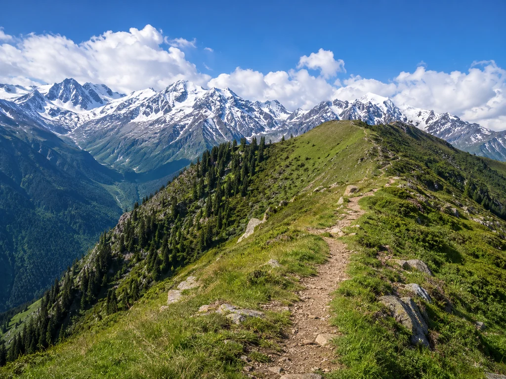
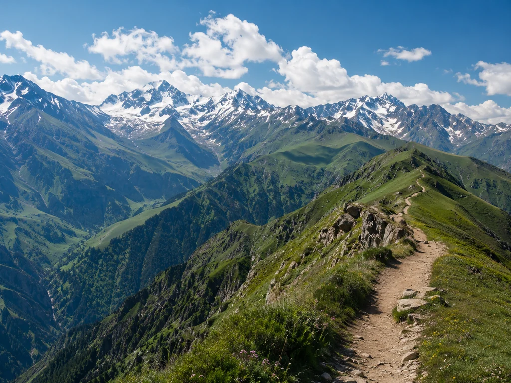
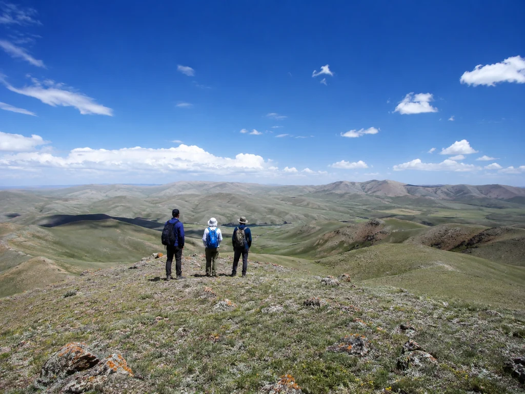
Hiking Route: 12 km with an Elevation Gain of 500 m
The toor hiking route to the Assy Plateau is 12 km with an elevation gain of 500 meters, medium difficulty, suitable for travelers with basic physical fitness. The trail starts from the parking lot at an altitude of 2500 m, passes through an alpine meadow with juniper thickets, then switchbacks up a rocky slope — after 3–3.5 hours of walking, the group reaches the plateau, where they have a rest stop with a view of Talgar Peak. Groups of up to 8 people, the guide is a local resident who knows the trails and the best photo spots. The route passes through alpine meadows — this is the main visual reward for the climb, worth wearing trekking shoes and taking a windbreaker for.
Hiking or Jeep Tour: Which Route to Choose
Let's figure out who the hiking option is suitable for, and who the off-road trip is for, and help you choose based on your fitness level and goals.
Hiking to the Assy Plateau: For Whom and How Long It Takes
The hiking trip to the Assy Plateau lasts a full day — departure at 8:00 AM, return at 6:00 PM — with a 12 km route and an elevation gain of 500 m, medium difficulty. The trail goes through the alpine meadows of the Alma-Arasan gorge, past waterfalls and streams, with a final ascent to the plateau at an altitude of 3200 m, offering a panorama of Talgar Peak. Groups of up to 8 people with a certified guide — a local resident who knows safe trails and spots with edelweiss. For a beginner with no hiking experience, it's doable if they have basic physical fitness and proper footwear — trekking boots with a stiff sole, not sneakers, otherwise there's a risk of ankle sprain on rocky sections.
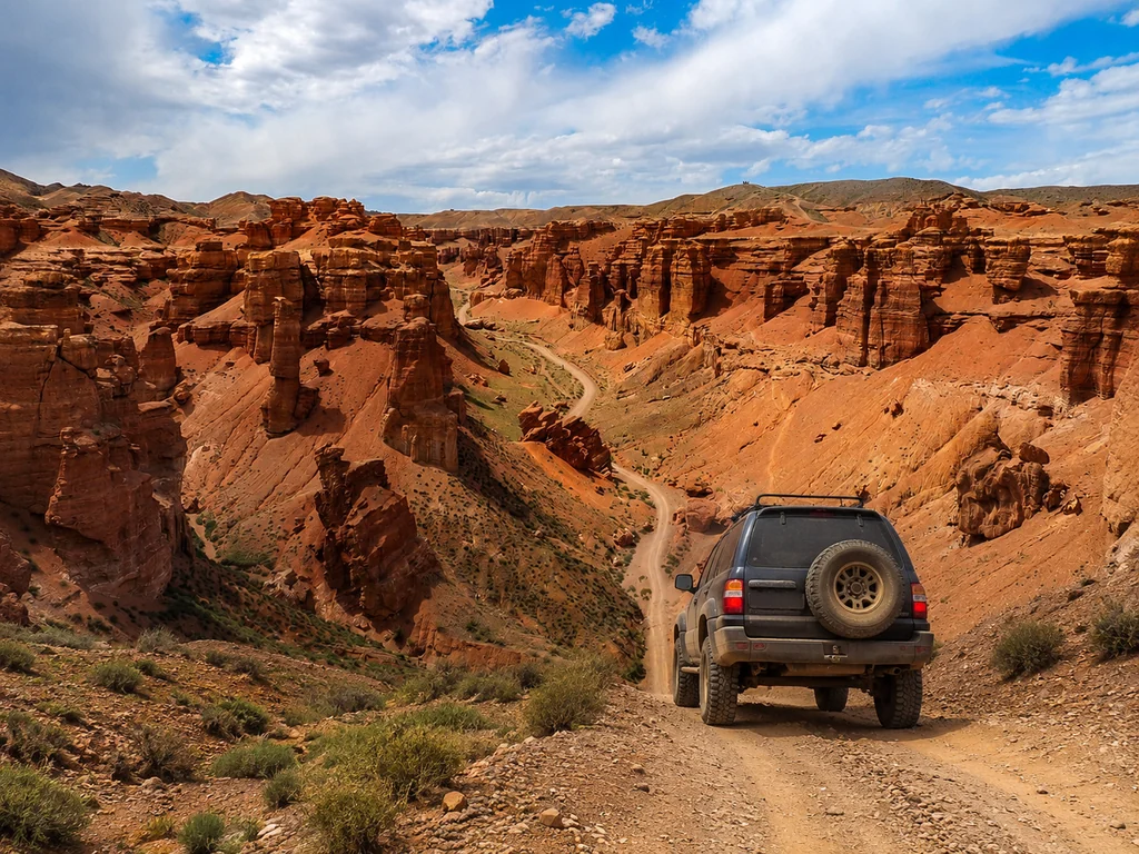
Jeep Excursion to the Assy Plateau: For Whom It's Suitable
The jeep excursion to the Assy Plateau lasts 4–5 hours with stops at observation points and is suitable for families with children from 5 years old, elderly people, and those who want to see the plateau without physical exertion. The route follows the same road through the Alma-Arasan gorge, but in an off-road vehicle — you skip the elevation gain and reach the plateau in an hour, with photo stops at the waterfall and at a spot with a view of Talgar Peak. Groups of up to 8 people, the car has space for backpacks and warm jackets — at an altitude of 3200 m, the temperature is 8–10°C lower than in the city. In the jeep excursion, you have time to visit the same key points but without fatigue — this is an ideal option for getting to know the plateau in one day, especially if you have limited time or are traveling with children.
Comparison of Hiking and Jeep Tours: Selection Table
| Parameter | Hiking Tour | Jeep Tour |
|---|
| Duration | 1 day (8:00 AM – 6:00 PM) | 4–5 hours |
| Physical Exertion | Medium (12 km, gain 500 m) | Minimal |
| Price | from 34,695 KZT/person | from 37,064 KZT/person |
| Suitable for | Active tourists, prepared beginners | Families with children, elderly, all without exertion |
| Included | Transfer, guide, snack, insurance | Transfer, guide, snack, insurance |
Prices for Tours to the Assy Plateau: What's Included
Let's break down the cost of trips to the Assy Plateau from Almaty, what's included in the base price, and which services are paid separately.
How Much Does a Tour to the Assy Plateau from Almaty Cost: toor Prices
The toor hiking tour to the Assy Plateau costs from 34,695 KZT/person, the jeep tour — from 37,064 KZT/person, this is the direct organizer's price without intermediary markups. The difference of 2,369 KZT is explained by fuel costs and off-road vehicle depreciation — the jeep tour goes along the Talgar highway with an elevation gain of 1500 m, where the fuel consumption of a Toyota Land Cruiser Prado 150 reaches 25 L/100 km. Both amounts include round-trip transfer from the city, services of a certified local guide, a snack, and insurance for each participant. Unlike aggregators, we don't add a commission — you pay directly to the tour operator, who organizes the route, hires guides, and insures participants themselves.
What's Included in the toor Tour Price
- Transfer: delivery from Almaty to the plateau and back, included for a group of up to 8 people with no extra charges.
- Certified Guide: a local resident who knows the trails of the Zailiysky Alatau, leads the group, and tells about the flora and geology of the plateau.
- Snack: light food during the trip — a thermos of tea, sandwiches, and snacks, without additional payments on the route.
- Insurance: each participant is insured against accidents for the entire duration of the route — this is a standard that doesn't require extra payment on site.
- Equipment: trekking poles and raincoats are provided if needed, at no extra charge.
Additional Services: Private Transfer
A private transfer from toor costs 6,000 KZT — this is an option for those who want to travel separately from the group in their own car or a rented jeep. We select a vehicle for your route and the number of people, and agree on a departure time separate from the general schedule. If you are traveling in a group of 4 or more, a private transfer can be more cost-effective than a group tour — just contact us for a quote.
Gear for the Hike to the Assy Plateau: Full List
We've compiled a full list of necessary items for the hike to the Assy Plateau — from footwear to a first-aid kit, considering the altitude of 3000 m and temperature changes.
Footwear and Clothing: What to Definitely Bring
- Trekking Boots: mandatory, with a high cuff to stabilize the ankle on rocky trails — sneakers are unsuitable due to the risk of dislocation.
- Thermal Underwear: a base layer made of synthetic or merino wool, wicks away moisture and prevents hypothermia during active walking.
- Fleece Jacket: a mid-layer of medium density (200–250 g/m²), retains heat even when damp from sweat.
- Windproof Jacket: an outer layer with a membrane (like Gore-Tex or equivalent), protects against piercing wind and sudden rain on alpine meadows.
- Hat and Gloves: a thin fleece hat and windproof gloves — at 3000 m, the wind is cold even in July, and without them, frostbite on fingers and ears is possible within 20–30 minutes.
Additional Gear: What Will Come in Handy
- Backpack 20–30 L: for personal items, extra food, and clothing layers you'll take off on the ascent.
- Water 1.5–2 L: at altitude, dehydration sets in faster due to dry air and rapid breathing — during 4–5 hours of walking, up to 1.5 L of fluid is lost.
- Sunglasses and Sunscreen SPF 50+: snowfields and clouds amplify UV radiation; corneal or skin burns are possible within 40 minutes without protection.
- First-Aid Kit: blister plasters, painkillers for sprains, motion sickness remedies (for the jeep tour on serpentine roads).
- Extra Snack: for a picnic on the plateau — there are flat areas for rest on the alpine meadows, and our snack is intended for the hiking part of the route.
What toor Provides from Gear
toor provides trekking poles, sit mats, and a group first-aid kit with antihistamines and painkillers — you bring the rest yourself. Poles reduce the strain on knees during the descent from the 500 m elevation gain, sit mats insulate from the cold ground during rest stops. If you don't have trekking boots, let us know a day before the hike — we'll advise where to rent a pair for 2000–3000 KZT per day; rental points in the city are near TSUM and on Kabanbay Batyr Street.
Weather and Seasonality on the Assy Plateau
We'll tell you when the best time to go to the Assy Plateau is, what the weather is like in different months of the season, and how temperature changes affect your preparation.
Travel Season to the Assy Plateau: June to October
The toor travel season to the Assy Plateau lasts from June to October — during these months there is no snow, trails are passable, and the weather allows for both hiking and jeep excursions. June is the beginning of the season: snow patches still lie in shady depressions above 3000 m, but the main trails are dry, and the alpine meadows are just turning green. July and August are the peak with the warmest weather (+18…+22°C during the day), minimal precipitation, and maximum visibility of Talgar Peak, but on popular viewpoints on weekends, up to 10–15 people gather. September is the velvet season with fewer crowds: the grass turns yellow, edelweiss still blooms, daytime +10…+15°C. October is the final month: daytime +5…+10°C, nighttime frosts down to -5°C, trails are partly covered with an icy crust — risky for hiking, jeep excursions run until mid-month.
Temperature on the Plateau: 8–10°C Lower Than in the City
The temperature on the Assy Plateau is 8–10°C lower than in Almaty: at +30°C in the city, the plateau will be +20…+22°C, and with the wind, it feels like +15°C. The difference is due to the altitude of 2800–3200 m — with every 1000 m rise, the temperature drops by 6°C, plus the wind from the glaciers of Talgar Peak adds another 5–7°C to the perceived cold. In July, when the courtyards of Almaty are sweltering at +35°C, the plateau is a comfortable +22…+24°C, but after 3:00 PM, the wind picks up to 10–12 m/s — without a windproof jacket, it becomes chilly. In September, daytime on the plateau is +10…+15°C, the wind is piercing — a warm jacket is mandatory, even if it's still warm in the city; in the evening after sunset, the temperature drops to +5°C within 30–40 minutes.
Monthly Weather: Planning Table
| Month | Average Daytime t°C | Feels Like with Wind | Precipitation | Recommendation |
|---|
| June | +15…+18°C | +12°C | Moderate | Bring wind protection and a raincoat |
| July | +18…+22°C | +15°C | Minimal | Ideal month for hiking trips |
| August | +17…+21°C | +14°C | Minimal | Peak season, book 2 weeks in advance |
| September | +10…+15°C | +8°C | Moderate | Warm jacket and thermal underwear mandatory |
| October | +5…+10°C | +3°C | Frequent rain | Only for the well-prepared, better by jeep |
Even in July, bring a warm jacket: after noon, winds up to 15 m/s are possible, which can knock you off your feet on open sections of the plateau.
Flora and Fauna of the Assy Plateau: What to See
The Assy Plateau is not just alpine meadows and edelweiss. We'll tell you what plants and animals are found on the route, and which ones are worth looking for specifically.
Plants of the Assy Plateau: Edelweiss and Alpine Meadows
On the plateau grow edelweiss — a symbol of alpine meadows, as well as gentian, saxifrage, and several types of high-mountain grasses. Edelweiss prefer rocky slopes with limestone soil at an altitude of 2800–3100 m — exactly where the trail exits the forest into the alpine meadow zone. Gentian with blue flowers is found in wet meadows near streams in July–August, and saxifrage clings with its roots to cracks in rocks at the edge of cliffs above the valley. High-mountain grasses — fescue and bluegrass — form a turf that holds the soil on slopes during rains and prevents trail erosion. Edelweiss bloom from July to August; it's best to look for them on rocky sections at the edge of the meadows — they are most common there, rather than in the thick grass in the center of the clearing.
Animals and Birds: Who You Might Encounter
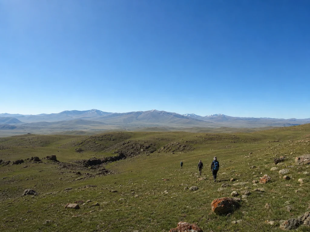
On the plateau, you can encounter marmots, mountain goats (argali), golden eagles, and falcons — especially in the morning hours when animals are most active. Marmots live in colonies on alpine meadows; their burrows are noticeable by mounds of excavated earth up to half a meter high on southern slopes, where the sun warms the soil earlier. Argali come out to graze on open areas until 10 AM, by noon they retreat to the shade of rocks — you can only see them in the first half of the day. Golden eagles soar over the plateau searching for marmots and hares; they are often spotted above the cliff near Talgar Peak, where updrafts allow them to hover without flapping their wings. Among small birds, you can find horned larks and mountain pipits, nesting right on the ground among the rocks near streams. Marmots can be seen at their burrows in the meadows, but do not approach closer than 50 meters — they are wary of people and, at a sudden movement, retreat to their burrows for an hour or more.
What Else to See: Talgar Peak and Panoramas
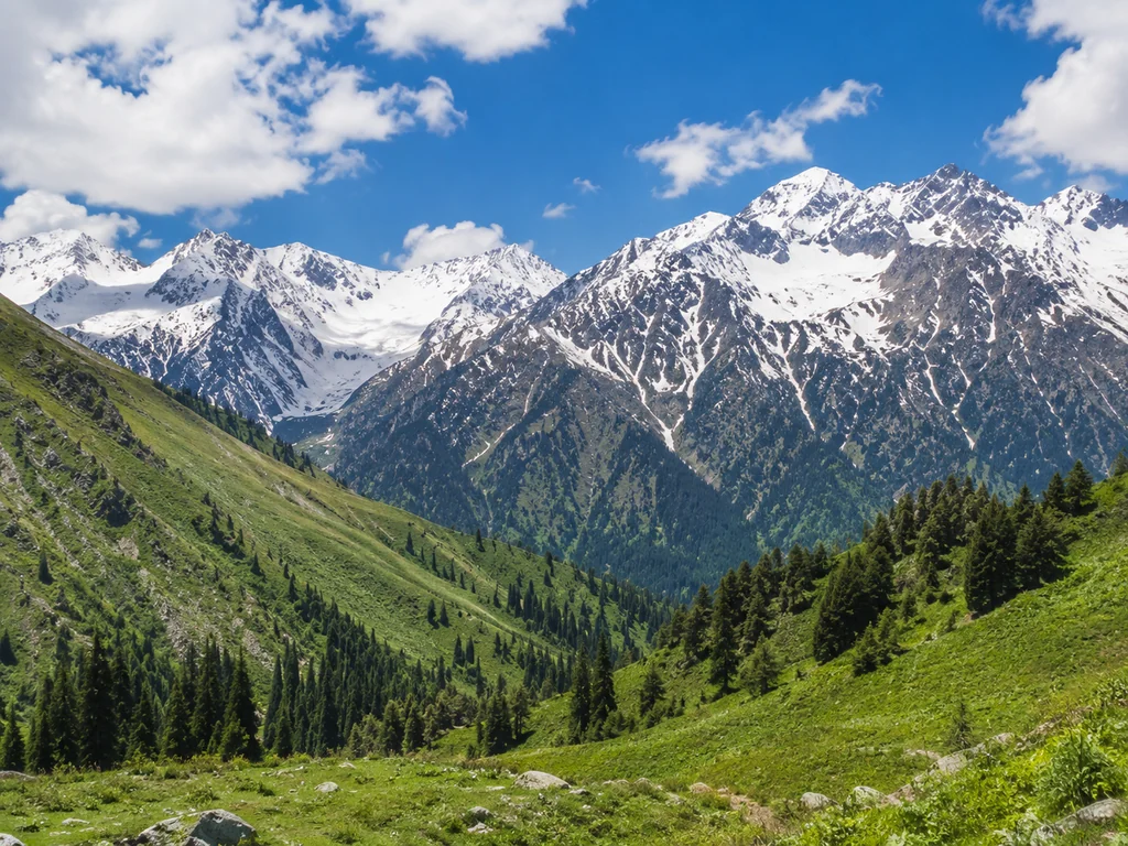
From the Assy Plateau, a panoramic view opens up of Talgar Peak (4979 m) — one of the highest peaks of the Zailiysky Alatau, as well as neighboring ridges. Talgar Peak is visible from the eastern edge of the plateau, where the trail reaches an open ridge — in good weather, you can see the glacier on its northern slope. To the west, the valley of the Assy River and the pass to the Alma-Arasan gorge are visible — a route that can be combined with the plateau in one day through toor. To the south, beyond the valley, rise the spurs of the Kungey Alatau, and on a clear day, Lake Issyk-Kul is visible on the horizon. The best time for photos is before 11 AM, when the sun illuminates Talgar Peak from the front and there is no haze; after noon, clouds often rise, covering the peak for two to three hours.
Mountain Safety: Rules and Recommendations
An altitude of 3000 meters is serious. We'll talk about safety rules, acclimatization, and why a guide is not a luxury but a necessity.
Why a Guide is a Mandatory Safety Condition
All toor hikes to the Assy Plateau are accompanied by certified local guides — they know the trails, weather patterns, and can provide first aid. Unlike visiting instructors, a local guide grew up in these mountains: they remember where avalanches occur in spring, in which depressions fog rises after rain, and which stones are dangerous to step on. On the Assy Plateau, there are sections with screes and steep slopes that an inexperienced traveler might simply not notice — especially on the descent when legs are tired. The guide controls the group's pace, monitors everyone's well-being, and, if necessary, adjusts the route, bypassing dangerous zones. A local guide distinguishes a safe route from a dangerous one: on the plateau, there are sections with screes and steep slopes that an inexperienced tourist might not notice.
Insurance and Acclimatization at 3000 m Altitude
At toor, we insure each hike participant — this is a mandatory condition included in the price and covers accidents on the route. The policy is valid from the moment of departure from the city until return, including time on the transfer and all stops. At an altitude of 3000 m, mild altitude sickness is possible: dizziness, nausea, weakness. To avoid it, we ascend with an elevation gain of no more than 300 meters per hour — this gives the body time to adapt. Our guide monitors the group's condition and, if symptoms appear, reduces the pace or recommends rest. At an altitude of 3000 m, mild altitude sickness is possible: dizziness, nausea, weakness. Our guide monitors the group's condition and, if symptoms appear, reduces the pace or recommends rest.
Rules of Conduct on the Route
- Do not leave the group: the guide knows the route; getting lost on the plateau is easy — fog descends in 10–15 minutes and completely obscures the trail.
- Do not leave the trail: there are screes and steep slopes on the plateau; leaving the marked path risks falling from a height.
- Do not light fires: only in specially designated areas — dry grass on the plateau ignites instantly.
- Do not leave trash: take everything with you, including organic waste — at 3000 m, it takes years to decompose.
- Report your condition: if symptoms of altitude sickness occur, inform the guide immediately — early slowing of pace prevents the development of pulmonary edema.
Common Tourist Mistakes on the Assy Plateau
Based on the real experience of guides working on the route — we break down the five most common mistakes tourists make on the Assy Plateau and explain how to avoid them.
Mistake 1: Wrong Footwear
The most common mistake is coming in sneakers or canvas shoes: on rocky trails, it's easy to twist an ankle, and wet shoes guarantee discomfort for the entire day. Trekking boots with a stiff sole and high ankle support stabilize the foot on screes and don't get wet in the streams that flood the road to the plateau in spring and early summer. Sneakers without tread slip on wet shale, and canvas shoes wear through on rocks in a single outing. Even on a jeep tour, where you get out of the car for 15–20 minutes, footwear should have a stiff sole — the stones are sharp and slippery, and without ankle support, it's easy to get a sprain.
Mistake 2: Insufficient Water and Food
Many people take too little water and light snacks, but at an altitude of 2500–3000 m, the body loses fluid faster — dehydration reduces energy and causes headaches. The dry air and physical exertion on the ascent increase fluid loss, so a standard 0.5 L bottle is not enough by the middle of the route. There are no shops or cafes on the plateau, so plan for 1.5–2 liters of water per person and a substantial snack — sandwiches, nuts, chocolate, and dried fruit, which quickly restore energy and don't spoil in the backpack during the day.
Mistake 3: Ignoring the Weather
The weather on the Assy Plateau changes in 15–20 minutes: a sunny morning can turn into a downpour or hail, and the temperature can drop by 10–15°C. In July, a group got caught in a squall wind on an open section — in half an hour, the temperature dropped from +25°C to +10°C, and people without jackets got cold and couldn't continue the route. Even in July, bring a waterproof jacket and a warm sweater — the wind on the open sections of the plateau is very strong and cold, and without protection, hypothermia sets in within 20–30 minutes.
Mistake 4: Lack of Sun Protection
At altitude, UV radiation is significantly stronger than in the city, and even on a cloudy day, you can get sunburn on your skin and eyes. Snow patches on the plateau reflect up to 80% of UV rays, intensifying the effect on exposed body parts — especially the face and neck. Sunscreen with SPF 50+ and sunglasses are an absolute minimum; otherwise, by evening, your face will be "burning" and your eyes watering, and you'll spend the next day with painful sensations.
Mistake 5: Late Departure
Departing from Almaty after 9–10 AM is a common mistake: the drive takes 3–4 hours, and you end up on the plateau in the peak heat, returning in the dark. The afternoon sun blazes in your eyes during the descent on the serpentine road, and mountain roads without lighting become dangerous at dusk — visibility drops, and the risk of veering off the shoulder increases. The optimal departure is at 6–7 AM: you catch the morning mist on the plateau, complete the main program, and return in daylight along the Almaty serpentine road.
Conclusion
We've gathered the main takeaways from our guide — remember these five points, and your trip to the Assy Plateau will go without surprises.
Key Takeaways
- Choose the route for yourself: the jeep tour is suitable for beginners and families with children, the hike is for experienced travelers with good physical fitness.
- Prepare for the weather: even in July at 3000 m, the temperature drops to +5°C, so a warm jacket and a waterproof windbreaker are mandatory in your backpack.
- Don't skimp on water and food: there are no shops or cafes on the plateau — take at least 1.5–2 liters of water per person and an extra snack.
- Depart early: the optimal start time from Almaty is 6–7 AM, to complete the route without rushing and return to the city before dark.
- Follow safety rules: do not leave the group, do not leave the marked trail, and immediately inform the guide of any dizziness or nausea — altitude sickness at 3000 m can happen even to well-prepared tourists.